|
Dear Collectors,
This July, we’re proud to present a collection of historically important maps that trace the evolving understanding of the world across centuries. Explore a curated collection of rare and historically significant maps spanning the 16th to 19th centuries. This offering includes early charts of the Americas, detailed city plans, and foundational maps of Europe and Asia. Many were created at turning points in history—during wars, territorial shifts, and the rise of empire. Others reflect advances in science, navigation, and the art of mapmaking itself. From colonial New England to the mouth of the Mississippi, from Innsbruck to Jamaica, these works reveal how the world was seen, measured, and governed. Each map tells a story—of ambition, discovery, conflict, or commerce. Together, they offer a remarkable window into the evolving understanding of geography across centuries.
Graham Arader
|
|
|
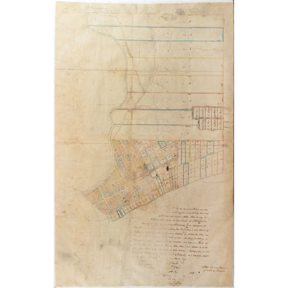
Manuscript Map Survey of the Town of Matagorda, Texas and Environs - Third oldest town in Texas
|
$ 24,000.00
|
Incredibly important for the urban history of Texas. Rare manuscript map from Texas’s Republic era, documenting early urban planning amid rising American settlement and independence.
|
|
|
|
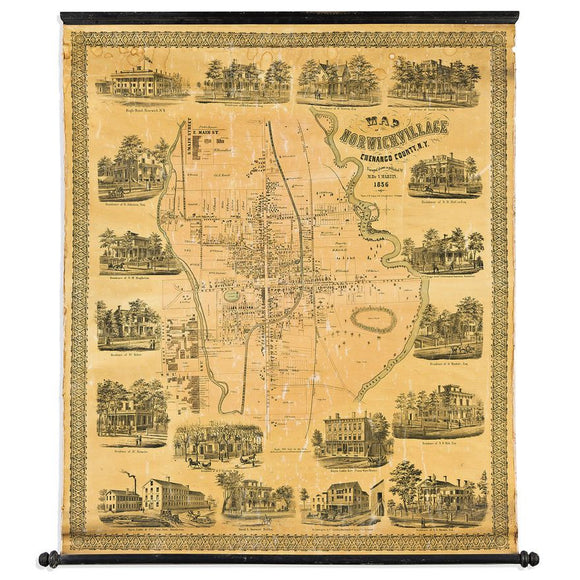
Martin's Map of Norwich Village Chenango County, N.Y
|
$ 900.00
|
Striking 1856 wall map of Norwich, New York, richly illustrated with vignettes of homes and businesses—an ornate visual record of a growing 19th-century village.
|
|
|
|
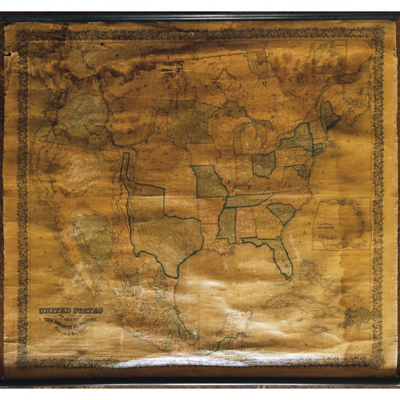
Joseph Colton's Map of the United States of America...1847
|
$ 1,800.00
|
Large 1847 wall map of the United States, showing Texas as an independent republic and California as New California—capturing U.S. expansion on the eve of war.
|
|
|
|
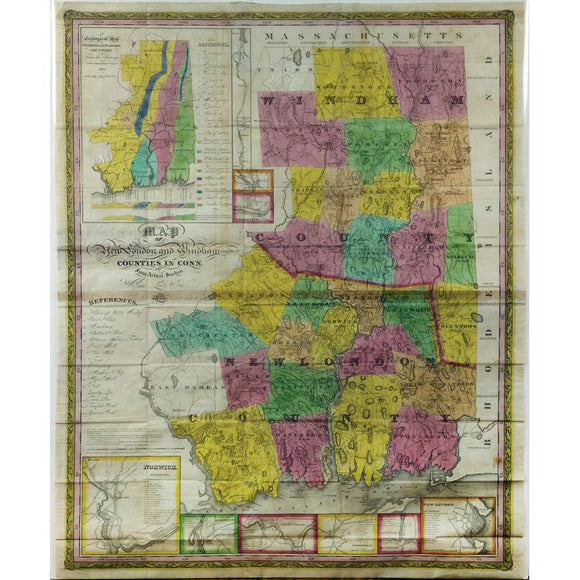
William Lester, Map of New London and Windham Counties in Conn. from Actual Survey
|
$ 900.00
|
Detailed 1833 map of New London and Windham Counties, Connecticut, based on actual surveys—reflecting early 19th-century land use, infrastructure, and township development.
|
|
|
|
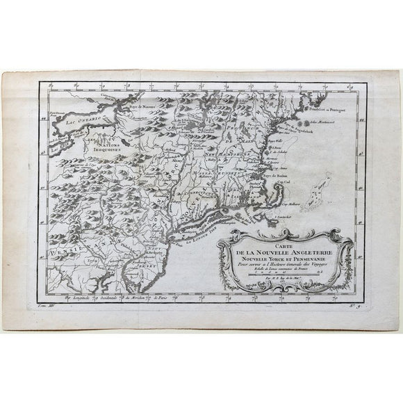
Bellin's Carte de la Nouvelle Angleterre Nouvelle Yorck et Pensilvanie
|
$ 300.00
|
First edition 1757 French map of New England, New York, and Pennsylvania, published during the French and Indian War to illustrate contested colonial territories
|
|
|
|
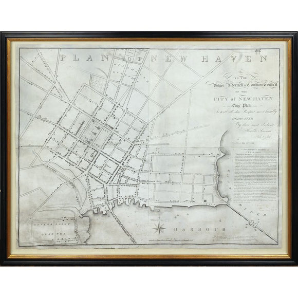
Amos Doolittle's Plan of New Haven
|
$ 9,000.00
|
Rare 1824 map of New Haven by Revolutionary War engraver Amos Doolittle, blending civic pride, Federal-era design, and Yale’s growing architectural footprint.
|
|
|
|
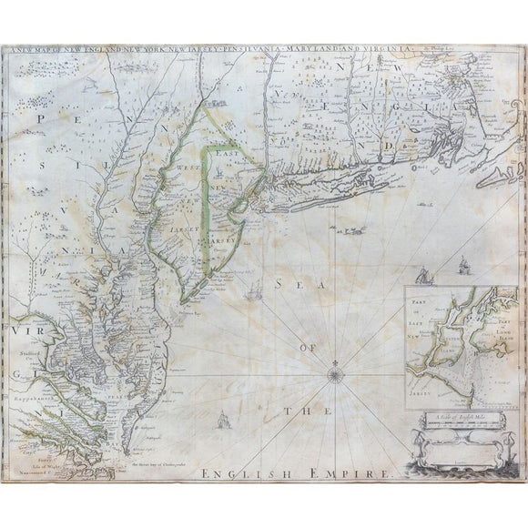
Philip Lea's New Map of New England, New York, New Jarsey, Pensilvania, Maryland and Virginia
|
$ 14,000.00
|
One of the earliest obtainable maps of England’s American colonies, showing detailed geography from Massachusetts to Virginia and the first printed chart of New York Harbor.
|
|
|
|
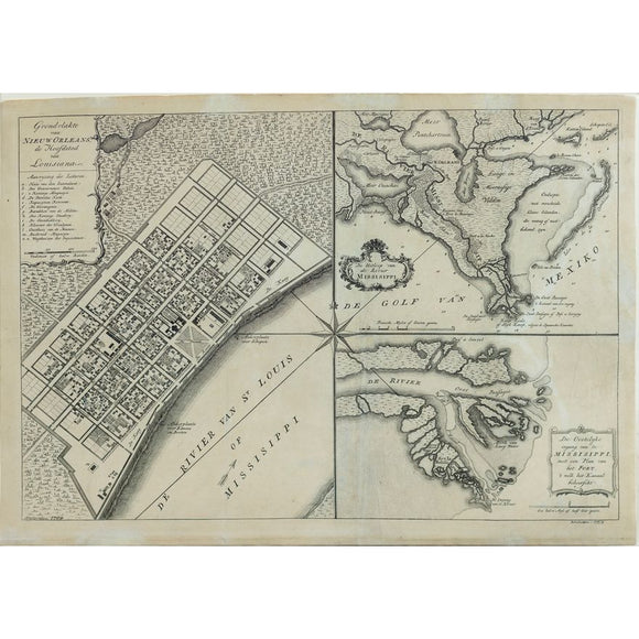
Isaak Tirion's Grondvlakte van Nieuw Orleans - One of the Earliest Obtainable Maps of Louisiana and the Lower Mississippi River
|
$ 1,800.00
|
One of the earliest obtainable 18th-century plans of New Orleans and the Mississippi Delta, detailing key buildings, fortifications, and French colonial infrastructure.
|
|
|
|
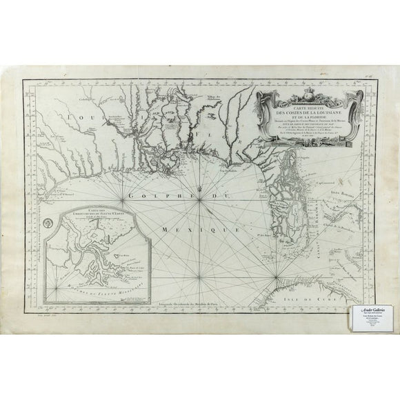
Bellin's Carte Reduite des costes de la Louisiane et de la Floride
|
$ 2,800.00
|
Last French map of the Gulf Coast issued during the French and Indian War, reflecting final French claims before territorial loss to Britain and Spain.
|
|
|
|
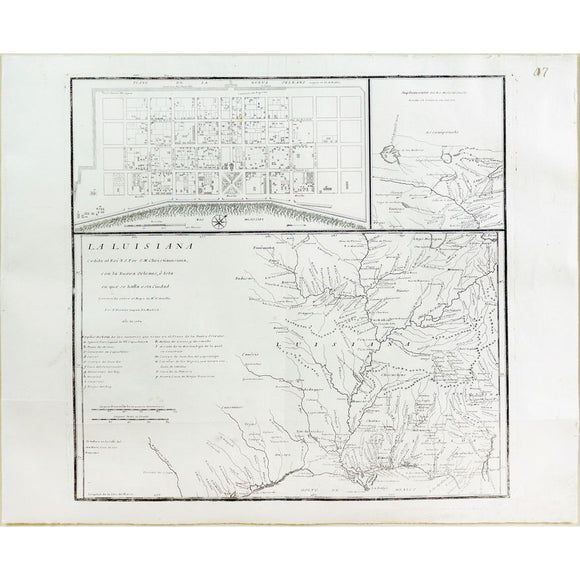
Lopez de Vargas Map of Louisiana showing New Orleans
|
$ 3,500.00
|
Scarce Spanish map of Louisiana marking France’s secret 1762 cession to Spain, with insets of New Orleans and the Mississippi—reflecting shifting imperial power post-Seven Years’ War.
|
|
|
|
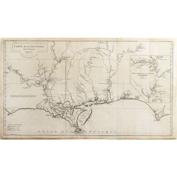
D'Anville's Carte de la Louisiane, 1732
|
$ 2,800.00
|
Foundational 18th-century map of Louisiana, charting French territorial claims and Indigenous nations during early exploration and imperial rivalry in North America.
|
|
|
|
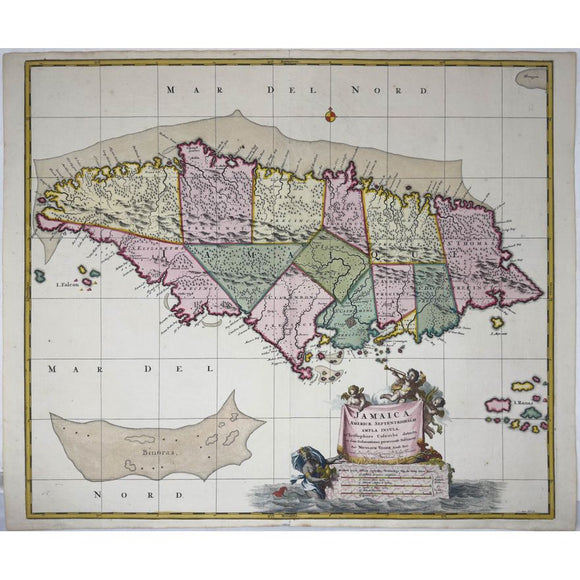
Visscher's Map of Jamaica - The Kislak Copy with Excellent Original Color
|
$ 1,800.00
|
Vivid early 18th-century map of Jamaica, reflecting its layered colonial past and English control post-Treaty of Madrid, with exceptional original color from the Kislak collection.
|
|
|
|
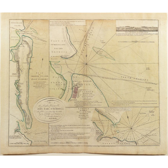
De Brahm's Plan of Amelia Island Florida
|
$ 3,800.00
|
Finest original color ever on this cornerstone, revolutionary war map of Amelia Island - one of America's finest resort islands. Rare 1770 British sea chart of Amelia Island and nearby rivers, offering the most accurate navigation of northeast Florida during early colonial expansion.
|
|
|
|
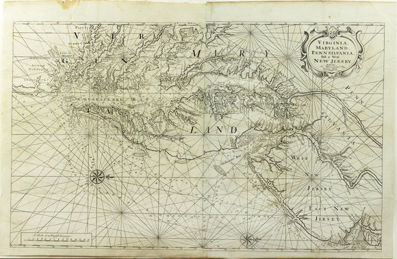
Mount & Page's Map of Virginia, Maryland, Pennsilvania, East & West New Jersey
|
$ 3,200.00
|
Important 18th-century sea chart of the Chesapeake Bay, guiding colonial navigation and trade, based on early surveys by Hermann and Thornton.
|
|
|
|
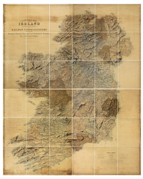
Griffith's Geological Map of Ireland to Accompany the Report of the Railway Comissioners of 1837
|
$ 3,500.00
|
Vibrant geological map of Ireland, foundational to railway planning and land valuation—Griffith’s landmark fusion of science, governance, and national infrastructure in 1830s Ireland.
|
|
|
|
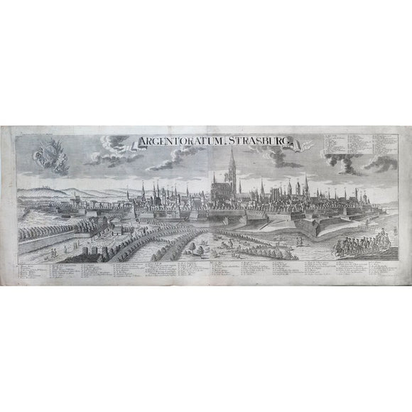
Georg Balthasar Probst. Strasburg. 1780
|
$ 800.00
|
Strasbourg's soaring cathedral anchors this Enlightenment-era panorama, reflecting the city's vital role as a Franco-German cultural and political crossroads.
|
|
|
|
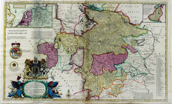
Herman Moll, A New and Exact Map of the Electorate of Brunswick-Lunenburg. 1722
|
$ 300.00
|
A richly detailed map illustrating the British crown’s German dominions, emphasizing political power, territorial control, and dynastic influence.
|
|
|
|
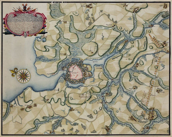
German Manuscript Map of the Battle of Wismar, 1711
|
$ 4,500.00
|
Striking manuscript map of Wismar’s siege, detailing Swedish and Danish positions during the Great Northern War’s pivotal struggle for control in northern Germany.
|
|
|
|
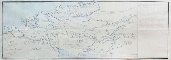
Von Rappholt's Map of Gotaland, Sweden - Showing Gothenburg, home of the SOIC
|
$ 600.00
|
Elegant 1743 manuscript map of southwestern Sweden, highlighting Gothenburg’s strategic role in trade and the Swedish East India Company’s global reach..
|
|
|
|
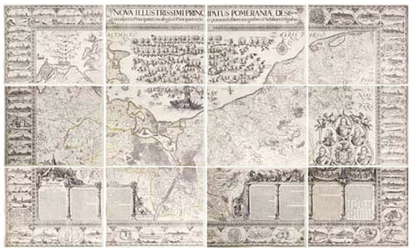
Eilhard Lubben's Map of Pomeraniae
|
$ 14,000.00
|
Monumental wall map of Pomerania, combining pioneering fieldwork and noble patronage—defining the region’s geography for over a century and influencing all later maps.
|
|
|
|
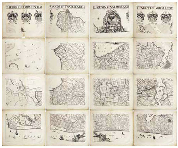
Jan Jansz Dou's Map of the Netherlands / Friesland
|
$ 12,000.00
|
Impressive 1680 atlas of North Holland’s water system, reflecting early Dutch water management, local governance, and the foundations of the Dutch Republic’s decentralized power.
|
|
|
|
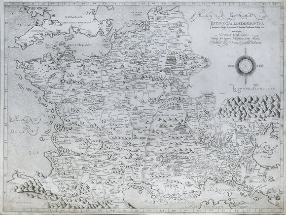
Oronce FINE (1494-1555), after. Totius Galliae descriptio...1561
|
$ 12,000.00
|
An extremely rare Lafreri School map of France originally by the Great French Mathematician Oronce Fine
|
|
|
|
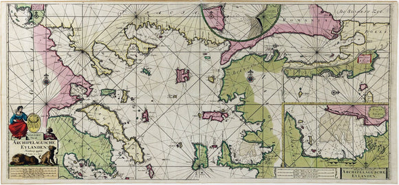
Johannes Van Keulen, Paskaart Van de Archipelagusche Eylanden - Sea Chart of the Northern Aegean Islands
|
$ 1,800.00
|
The very highest level of original color. Striking Dutch sea chart of the Northern Aegean, reflecting the height of maritime trade and navigation in the early 18th-century Mediterranean.
|
|
|
|
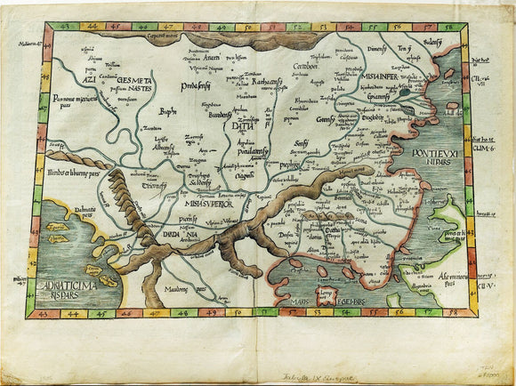
Laurent Fries Map of the Balkan Peninsula
|
$ 200.00
|
Early 16th-century map of Europe’s Balkans and surrounding regions, based on classical geography and reflecting Renaissance interest in ancient world knowledge.
|
|
|
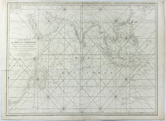
|
JEAN-BAPTISTE-NICOLAS-DENIS D'APRÈS DE MANNEVILLETTE. Carte Réduite de l'Océan Oriental... published 1771
|
$ 1,600.00
|
French Enlightenment-era sea chart of the Indian Ocean, reflecting colonial ambition, scientific navigation, and global trade routes.
|
|
|
|
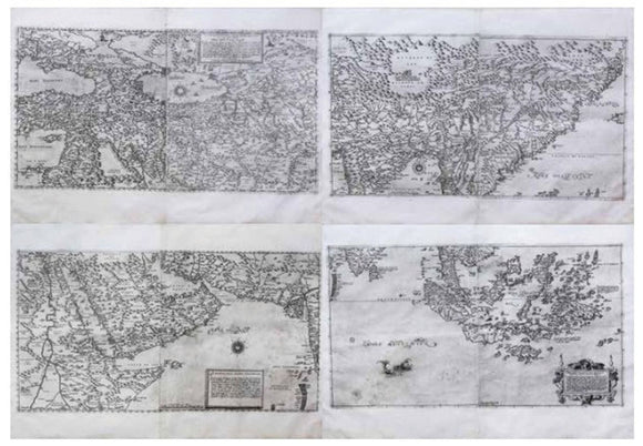
Olgiati & Gastaldi Map of Asia
|
$ 225,000.00
|
Impressive four-part map of Asia with detailed name index, reflecting Europe’s expanding reach during the height of 16th C European exploration and trade with the East.
|
|
|
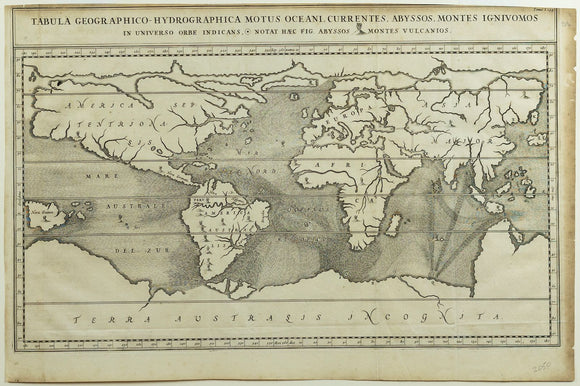
|
Kircher Tabula Geographico-Hydrographica Motus Oceani - Earliest Map of the World showing the ocean's currents
|
$ 1,500.00
|
Groundbreaking 1665 map visualizing global ocean currents, volcanic systems, and subterranean forces—Kircher’s visionary synthesis of earth science and baroque-era cosmology.
|
|
|
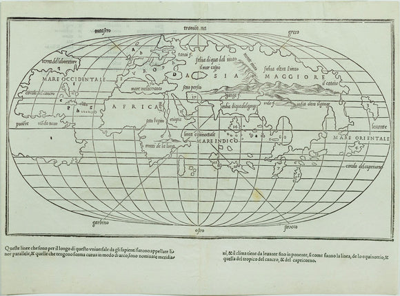
|
Benedetto Bordone, Untitled World Map
|
$ 2,500.00
|
Rare early oval-projection world map, reflecting evolving global understanding post-Columbus and influenced by Rosselli’s pioneering geographic vision of a divided New World.
|
|
|
![Braun & Hogenberg, [Chester, England] Cestria Vulgo Chester, Angliae Civitas](//aradernyc.com/cdn/shop/files/112_580x.jpg?v=1750797391)
|
Braun & Hogenberg, [Chester, England] Cestria Vulgo Chester, Angliae Civitas
|
$ 4,500.00
|
Early view of Chester, a Roman-founded stronghold turned Norman port city, highlighting its military, ecclesiastical, and commercial importance in medieval England.
|
|
|
![Braun & Hogenberg, [Norwich, England] Nordovicum Angliae Civitas](//aradernyc.com/cdn/shop/files/111_580x.jpg?v=1752266582)
|
Braun & Hogenberg, [Norwich, England] Nordovicum Angliae Civitas
|
$ 2,800.00
|
A vivid Elizabethan-era view of Norwich, showcasing its cathedral, wool trade heritage, and prominence in early modern England.
|
|
|
![Braun & Hogenberg, [Augsburg, Germany] Augusta Iuxta Figuram.](//aradernyc.com/cdn/shop/files/110_580x.jpg?v=1750711003)
|
Braun & Hogenberg, [Augsburg, Germany] Augusta Iuxta Figuram.
|
$ 4,500.00
|
Renaissance view of Augsburg, showcasing its Roman origins, imperial defenses, and prosperity as a major commercial and ecclesiastical center in early modern Germany.
|
|
|
![Braun & Hogenberg, [Saltzburak]. 1588](//aradernyc.com/cdn/shop/files/austria_580x.jpg?v=1752875218)
|
Braun & Hogenberg, [Saltzburak]. 1588
|
$ 6,000.00
|
A Renaissance-era view of Salzburg from Civitas Orbis Terrarum, celebrating ecclesiastical grandeur and alpine geography in vivid hand color.
|
|
|
![Braun & Hogenberg, [Cagliari, Malta, Rhodos and Famagusta] Calaris / Malta / Rhodus / Famaugusta](//aradernyc.com/cdn/shop/files/107_580x.jpg?v=1750710214)
|
Braun & Hogenberg, [Cagliari, Malta, Rhodos and Famagusta] Calaris / Malta / Rhodus / Famaugusta
|
$ 1,800.00
|
Strategic Mediterranean strongholds depicted at the height of Christian-Ottoman conflict, revealing key military and religious frontiers of sixteenth-century geopolitics.
|
|
|
![Braun & Hogenberg, [Casablanca, Goa, Diu and Azamor]](//aradernyc.com/cdn/shop/files/106_580x.jpg?v=1750710155)
|
Braun & Hogenberg, [Casablanca, Goa, Diu and Azamor]
|
$ 1,500.00
|
Rare early views of Portuguese colonial ambitions, including a 1509-dated view of Goa used for reconnaissance during Europe’s push into Asia and North Africa.
|
|
|
![Braun & Hogenberg, [Seville, Cadiz & Malaga, Spain] Sevilla, Hispalis ... [With] Cadiz [And] Malaga](//aradernyc.com/cdn/shop/files/105_580x.jpg?v=1750710085)
|
Braun & Hogenberg, [Seville, Cadiz & Malaga, Spain] Sevilla, Hispalis ... [With] Cadiz [And] Malaga
|
$ 1,800.00
|
Vivid depictions of Spain’s major port cities, central to transatlantic trade, maritime power, and the wealth of the Spanish Empire in the New World.
|
|
|
![Braun & Hogenberg, [Mexico City, Mexico & Cusco, Peru]](//aradernyc.com/cdn/shop/files/104_580x.jpg?v=1750709920)
|
Braun & Hogenberg, [Mexico City, Mexico & Cusco, Peru]
|
$ 3,800.00
|
Earliest printed views of American cities, capturing Mexico City and Cusco as vibrant Spanish colonial capitals rooted in rich Indigenous and imperial histories.
|
|
|
![Braun & Hogenberg, [Luxembourg] Lutzenburgum](//aradernyc.com/cdn/shop/files/103_580x.jpg?v=1750709773)
|
Braun & Hogenberg, [Luxembourg] Lutzenburgum
|
$ 3,500.00
|
Striking Renaissance view of Luxembourg, emphasizing its fortified importance and ducal heritage amid shifting European power dynamics during the late sixteenth century.
|
|
|
|
|