from: June 2025 3
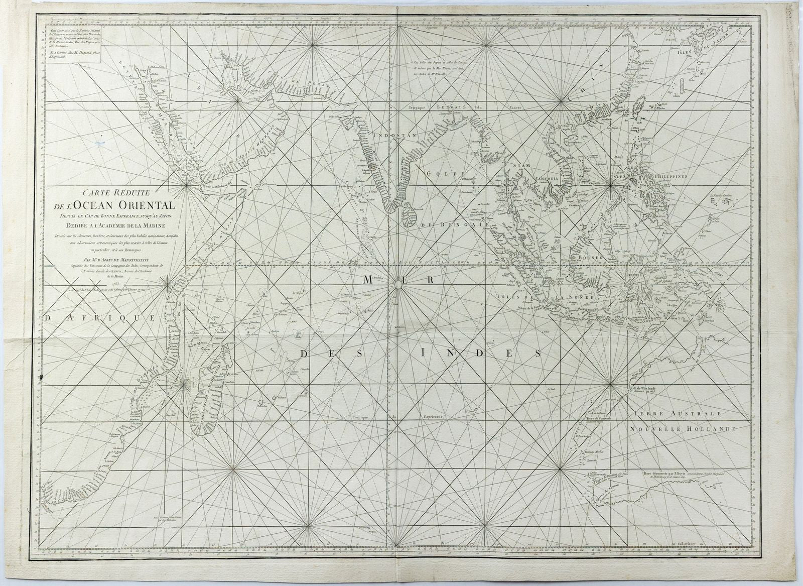
JEAN-BAPTISTE-NICOLAS-DENIS D'APRÈS DE MANNEVILLETTE. Carte Réduite de l'Océan Oriental... published 1771
JEAN-BAPTISTE-NICOLAS-DENIS D'APRÈS DE MANNEVILLETTE. Carte Réduite de l'Océan Oriental... published 1771
Regular price
$ 1,600.00 USD
Regular price
Sale price
$ 1,600.00 USD
Unit price
per
Couldn't load pickup availability
