“WE GOT HERE AS SOON AS WE COULD”
1650-1900
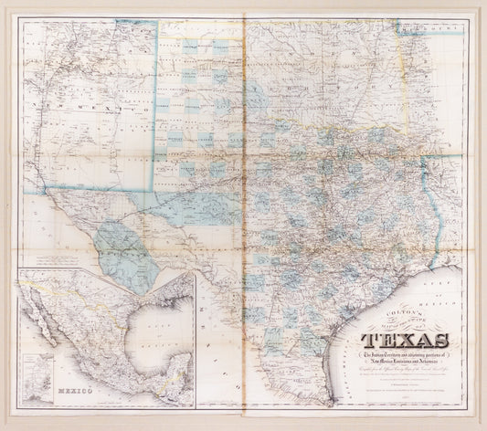
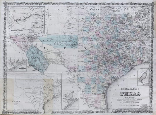
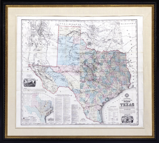
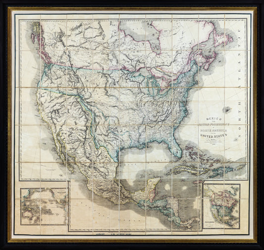
'This is one of my best map catalogs ever that focus on the fundamental maps of American History with a focus on the American Southwest and Texas. It is so good that only 5 institutions in the world have collections that rival it. And no private collector has a corpus this fine. '
Graham Arader
1650 to 1900: Two and one half centuries of unrelenting competition and conflict. The prize? Political and economic domination of North America. The principal players were England, France, Spain, their colonial subjects, and the indigenous peoples who preceded them on the continent. The result shaped the world we live in today.
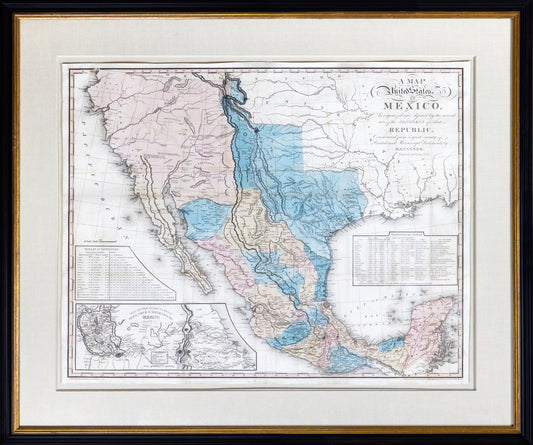
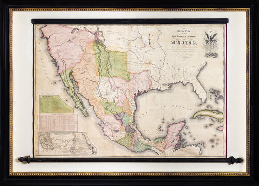
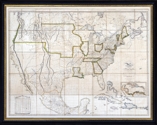
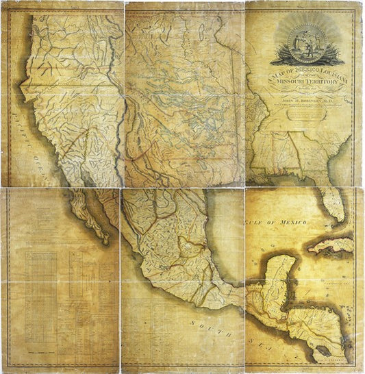
Most of the 250 year struggle to dominate North America was fought over territory the European protagonists had never even seen. This made the era’s conflicts uniquely influenced by its cartography. If mapmaking is a political act, it is doubly so when applied to previously unmarked territory. A selection of key maps from 1650 to 1900 show how the choices made by each particular mapmaker influenced the issues of the day.
For over a century, Texas's role in this struggle was as a buffer, protecting Spain’s interests in Mexico from British, French and American expansion. Rugged and distant, it did not lend itself to easy exploration or colonization. But its isolation could not last. Once the European powers were ejected from the continent and the great American experiment spread across the west, people began to flow into the region. They came from all parts of the continent, and from overseas, to build a culture that was uniquely Texan.
As Texans they won independence from Mexico, itself not long independent from Spain. After ten years, the Republic of Texas became the casus belli for an aggressive young nation convinced that its “manifest destiny” was to spread from shore to shore. When the union fractured and war broke out, the State of Texas seceded and with its confederates suffered the consequences of defeat. But with the coming of the railroads, its vast spaces were tamed, it was linked more closely both east and west, and its people enjoyed a boom that changed the face of Texas.
There is no better way to tell this story than through maps, drawn and used by the people who participated in these great events. Each one is important in its own right. As a group, they are a brilliant record of an era that formed the world as we know it.


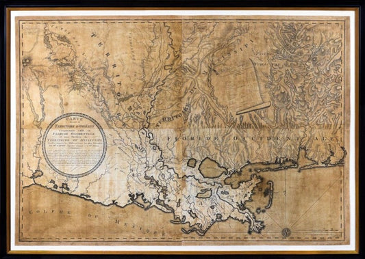
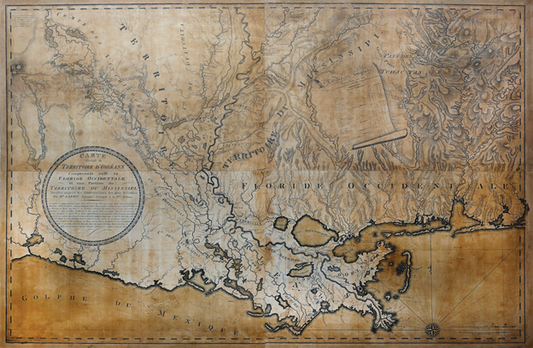
![ANONYMOUS [Nicolas de Finiels?] Plano de una parte de la Prov.a de la Luisiana; ... 1803 - Arader Galleries](http://aradernyc.com/cdn/shop/products/Webcapture_8-9-2022_133119.jpg?v=1662674802&width=533)

