-
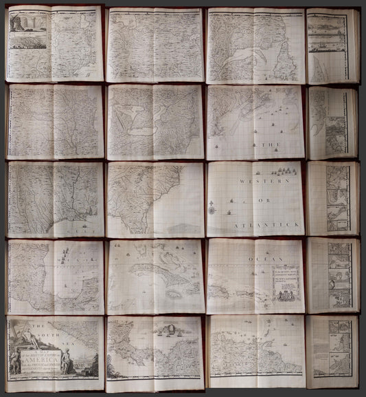
Henry Popple. Map of the British Empire in America. 1740.
Regular price $ 255,000.00 USDRegular priceUnit price per -
MITCHELL, John (1711-1768). A Map of the British and French Dominions in North America. [London:] Publish'd by the Author Feb.ry 13th. 1755
Regular price $ 450,000.00 USDRegular priceUnit price per -
MITCHELL, John (1711-1768) A Map of the British and French Dominions in North America…1755
Regular price $ 750,000.00 USDRegular priceUnit price per