from: Maps
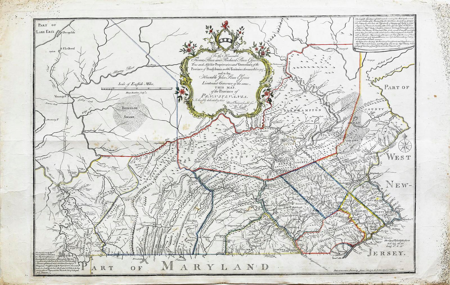
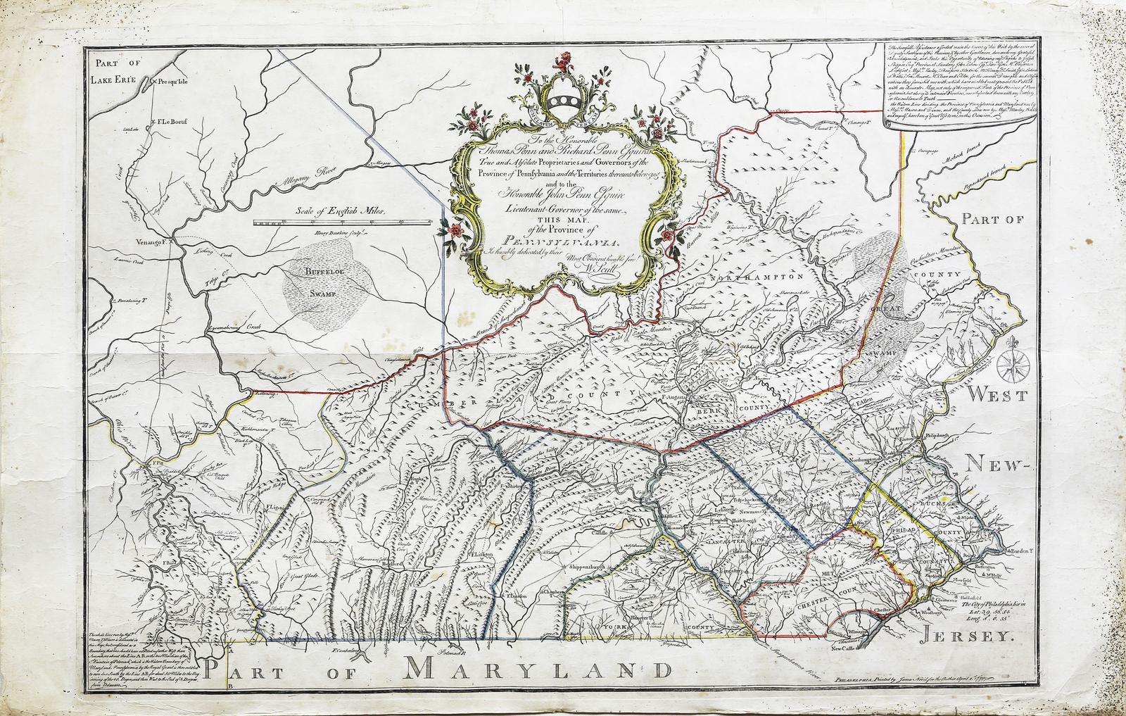
William Scull. Map of the Province of Pennsylvania. 1770.
William Scull. Map of the Province of Pennsylvania. 1770.
Couldn't load pickup availability
SCULL, William (1739-1784).
Map of the Province of Pennsylvania.
Engraved Map. Hand color in outline.
Philadelphia: James Nevil, 1770.
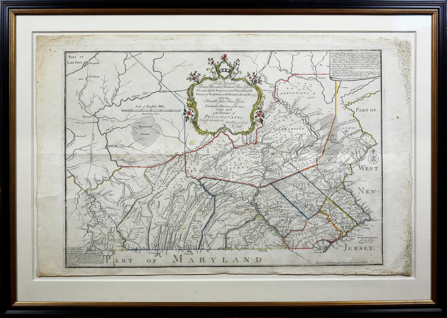
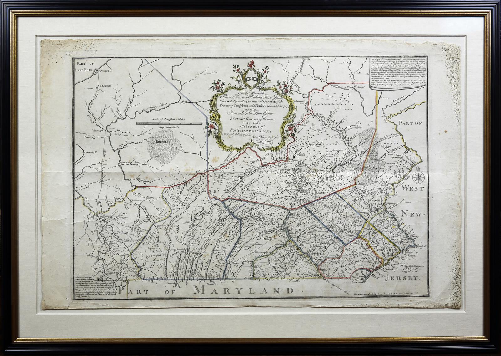
24 1/8" x 27 3/4" sheet; 32" x 45" framed.
The First Map of Pennsylvania to Show the Mason-Dixon Line.
Full Title: To the Honorable Thomas Penn and Richard Penn, Esquires, true and absolute proprietaries and Governors of the Province of Pennsylvania and the territories thereunto belonging and to the Honorable John Penn, Esquire, Lieutenant-Governor of the same, this map. Of the Province of Pennsylvania.
Scull revised and extended his 1759 map in this version that was also dedicated to the Penn brothers, but which was published in London in 1770, and appeared subsequently in several editions through the decade. Much of the geographical information is the same, but interestingly the earlier map is both larger and evinces greater aesthetic satisfaction. It was the first map of Pennsylvania since Thomas Holme's 1687 map of the then much smaller settlement, and represents a vast amount of on-site surveying. Dedicated to the Penn brothers, Scull's map is among the largest and finest maps produced in America in the 18th century. It was an extraordinary achievement. The map depicts Philadelphia, Bucks, Northampton, Berks, Chester, Lancaster, Cumberland, and York Counties.
William Scull was an American cartographer, based out of Philadelphia, and officer during the Revolutionary War. He was also the grandson of known Nicholas Scull, who held the position of colonial Surveyor General of Pennsylvania. Scull's renowned success with this map, led to multiple publications across England and France; and was frequently included in composite atlases containing related maps.