from: Maps
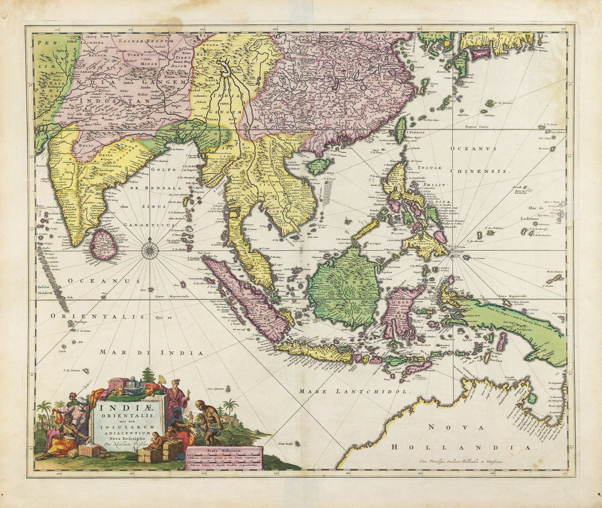
VISSCHER, Nicolas (1618-1679), Indiae Orientalis, nec non Insularum Adiacentium Nova Descriptio
VISSCHER, Nicolas (1618-1679), Indiae Orientalis, nec non Insularum Adiacentium Nova Descriptio
Couldn't load pickup availability
VISSCHER, Nicolas (1618-1679).
Indiae Orientalis, nec non Insularum Adiacentium Nova Descriptio.
Engraved map with great original hand color in full.
Amsterdam, c. 1698.
24 1/2" x 21" sheet.
This superb map of Southeast Asia presents a detailed image of the sphere of operations and Asian trading empire of the Dutch East India Company. The map extends from India to the Philippines and the Ladrone Islands, and from southern Japan to the recent Dutch discoveries in Northern Australia. There is a partial outline of Papua New Guinea and considerable cartographic data in the East Indies. The fabulous title cartouche is surrounded by various people of the region and a bounty of trade goods.
References: Tooley (Australia) #1300.