from: Maps
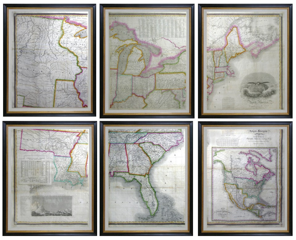
VANCE, David H. (19th Century), engraved by J.H. Young (1792- 1864), Map of North America including recent geographical discoveries
VANCE, David H. (19th Century), engraved by J.H. Young (1792- 1864), Map of North America including recent geographical discoveries
Couldn't load pickup availability
VANCE, David H. (19th Century), engraved by J.H. Young (1792- 1864).
Map of North America including recent geographical discoveries.
Engraved map in 6 parts with original hand color in outline.
Philadelphia: Anthony Finley, 1825.
25 7/8" x 20 1/2" sheet, 30 1/2" x 25 1/2" framed (Each), 61" x 76 1/2" overall.
A Monumental Wall Map of Early 19th-century America, Published the Year the Erie Canal Opened.
Vance's 1825 map illustrates several historical events: the construction of the Erie Canal, the dynamic development of the recently acquired American territories west of the Mississippi, and the relocation of native peoples. For example, the Cherokee and Choctaw nations are depicted both in their native territories, to the East of the Mississippi, and in the West, where they were granted land by the federal government.