from: Maps
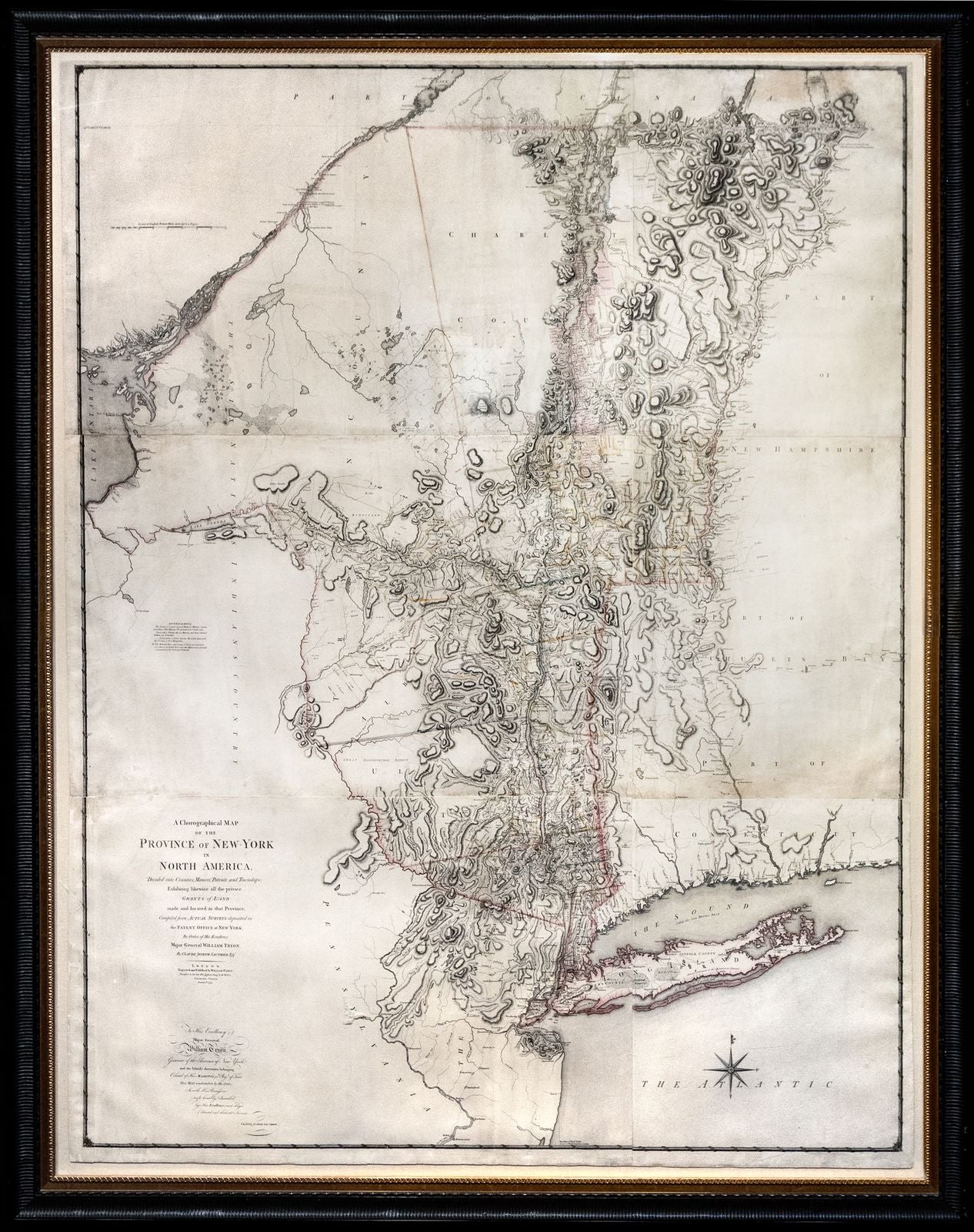
SAUTHIER, Claude Joseph (1736-1802). A Chorographic Map of the Province of New York in North America.
SAUTHIER, Claude Joseph (1736-1802). A Chorographic Map of the Province of New York in North America.
Couldn't load pickup availability
SAUTHIER, Claude Joseph (1736-1802).
A Chorographic Map of the Province of New York in North America.
Engraved map with original hand color in outline.
London: William Faden, 1779.
56 1/2” x 74” sheet, 64 3/4” x 81 3/4” framed.
THE MOST IMPORTANT MAP OF THE ROYAL COLONY OF NEW YORK
The last and finest large-scale map of an American colony. Drawn on a scale of five miles to the inch, it is the most detailed printed map of any extensive part of North America published during the Revolutionary period. Alsatian engineer Claude Joseph Sauthier first accompanied Governor William Tryon to New York in 1771 to produce surveys of the region. On account of his extensive detail, Sauthier was employed as a military engineer and his intricate maps were employed by the British forces during the American Revolution.
Sauthier’s map of the Hudson River region was so well received that it was engraved and published by William Faden first in 1776 as A Map of the Province of New York. With significantly more geographical information particularly in upstate New York, the Catskills, and present day Vermont, Faden republished the map in 1779 as A Chorographical Map of the Province of New York. Enlisted as a military engineer. Thorough and beautifully illustrated, Sauthier’s expansive map captures New York’s complexity in the midst of the war.