from: Email — 05_09_23
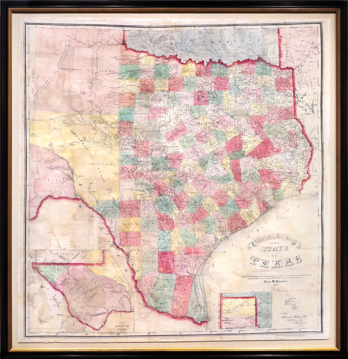
PRESSLER, Charles W. (1821-1907), Traveller's Map of the State of Texas
PRESSLER, Charles W. (1821-1907), Traveller's Map of the State of Texas
Couldn't load pickup availability
PRESSLER, Charles W. (1821-1907).
Traveller's Map of the State of Texas.
Lithographed map with original hand color.
New York: 1867.
40 3/4" x 39" sheet, 45" x 43 1/2" framed.
Charles W. Pressler, immigrated to Texas in 1846, establishing himself as a surveyor first with Jacob De Cordova. Pressler lead surveying expeditions for the active surveyor; later establishing a career with the General Land Office of the State of Texas in 1850, serving as Principal Draftsman from 1858-1865. It is during this time that PRessler and colleagues were commissioned to produce the present map. Argued as, "Unquestionably the finest map of Texas of its period," this map improved the States of Texas and the United States' understanding of Texas' geography. Parts of West Texas were still uncharted at this time in history. The Map also details post offices, trails, and roads giving the viewer insight into land travel throughout the State of Texas during the mid 19th century. Outside of man-made transportation routes, the single most detailed part of this map is the extensive system of waterways that surround and run through Texas. The information regarding early colonies, at once, gives the viewer a deep history of the overall cultivation of the State. Indigenous territories are found near the Red River. The map was so well informed and drafted that not only the State of Texas, but also the United States Federal government consulted the map, and later editions, when resolving land disputes in the 19th century. An incredibly rare printing, this map captures the unsettled Texas landscape after the upheaval of the American Civil War.