from: Maps
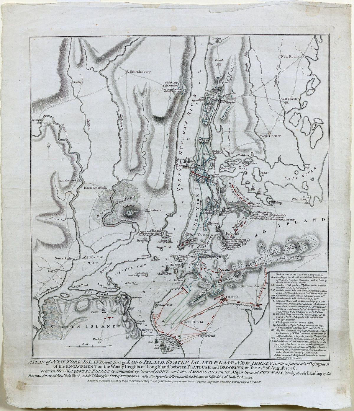
FADEN, William (1749 - 1836), A plan of New York Island with part of Long Island, Staten Island, and East New Jersey
FADEN, William (1749 - 1836), A plan of New York Island with part of Long Island, Staten Island, and East New Jersey
Couldn't load pickup availability
FADEN, William (1749 - 1836).
A plan of New York Island with part of Long Island, Staten Island, and East New Jersey...
Engraved map with original hand color.
London: Faden, Oct. 19, 1776.
23 1/4" x 19 3/8" sheet.
Full Title: "A Plan of New York Island, with part of Long Island, Staten Island & East New Jersey, with a particular description of the Engagement on the Woody Heights of Long Island, between Flatbush and Brooklyn, on the 27th of August 1776. Between his majesty's forces commanded by General Howe and the Americans under Major General Putnam shewing also the Landing of the British Army on New-York Island, and the taking of the City of New-York & on the 15th of September following, with the Subsequent Disposition of Both the Armies"
Fifth State of Six, with the addition of Fort Independence between "Flying Camp..." and "Redoubt with Cannons,". Fort Washington now appears at the head of New York Island. Each subsequent state showing stages in the progress of the battle and updating features on the map.
Nebenzahl, Battle Plans of the American Revolution 107; Stevens & Tree 41.