from: Maps
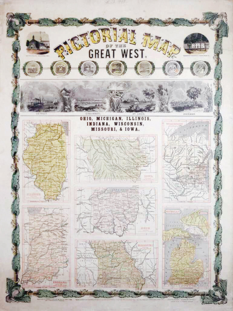
ENSIGN & THAYER (19th Century), Pictorial Map of the Great West
ENSIGN & THAYER (19th Century), Pictorial Map of the Great West
Couldn't load pickup availability
ENSIGN & THAYER (19th Century).
Pictorial Map of the Great West.
Lithograph with original hand color.
New York: Ensign & Thayer; Cincinnati: Rifus Blanchard; Boston: Joseph Ward, 1848.
31" x 23" sheet, 40 1/4" x 30 1/4" framed.
A spectacular wall map published shortly after the conclusion of the Mexican-American War, which resulted in the addition of over 500,000 square miles to the United States. Texas is depicted in its large stovepipe configuration extending north into today's Colorado, while a huge Nebraska Territory occupies the region from the Missouri River west to the Rocky Mountains. Oregon Territory occupies the entire Northwest, and an oversized Upper or New California extends from the Pacific Ocean to the Great Basin. New Mexico is sandwiched between Texas and Upper California.