from: Maps
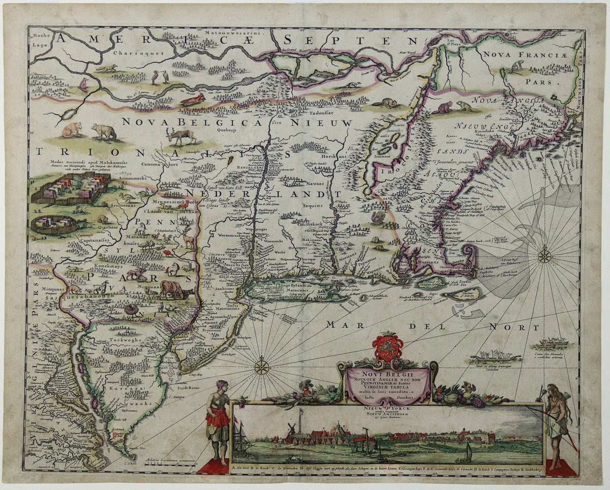
DANCKERTS, Justus (1635-1701), Novi Belgii Novaeque Angliae Nec Non Pennsylvaniae et Partis Virginiae Tabula multis in locis emendata
DANCKERTS, Justus (1635-1701), Novi Belgii Novaeque Angliae Nec Non Pennsylvaniae et Partis Virginiae Tabula multis in locis emendata
Couldn't load pickup availability
DANCKERTS, Justus (1635-1701).
Novi Belgii Novaeque Angliae Nec Non Pennsylvaniae et Partis Virginiae Tabula multis in locis emendata...
Engraved map with original hand color.
Amsterdam, c. 1684.
19 1/2" x 23" sheet.
Danckerts Edition of Visscher's Landmark Map of the Northeast.
Second state of Justus Danckert's map of New Netherlands, including a view of New Amsterdam, now also called "Nieuw Yorck."
A very attractive example from this famous and much sought after map, with an inset view of the Dutch colony on Manhattan Island, the second published view of New York, after Hartgers view of 1651. The cartographic information is based upon Jansson's map of 1650. In 1655, Danckert's copied Nicholas Visscher, who in turn utilized Jansson's map, with its vignettes of animals and Indian life, and added this now famous view of New Amsterdam, showing the Battery and Dutch buildings on the waterfront.
An extensive study of the map by Stokes suggests that the view was drawn sometime between 1653 and 1655, prior to the construction of New York's wall. The first state of the map, copied from Visscher's map, also omits Philadelphia. This second state was issued in about 1684 and shows Philadelphia for the first time, as well as adding farm animals.