from: Maps
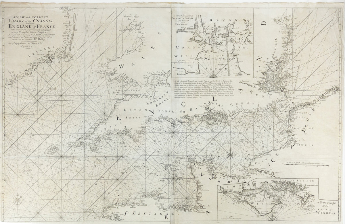
COLLINS, Capt. Greenville (1643-1694), A New and Correct Chart of the Channel between England & France
COLLINS, Capt. Greenville (1643-1694), A New and Correct Chart of the Channel between England & France
Regular price
$ 1,800.00 USD
Regular price
Sale price
$ 1,800.00 USD
Unit price
per
Couldn't load pickup availability
COLLINS, Capt. Greenville (1643-1694).
A New and Correct Chart of the Channel between England & France.
Engraved map.
London: Mount & Page, 1738.
40 1/4" x 26 1/2" sheet.
The First Hydrographic Charts of Great Britain.