from: 1016 Map Inventory
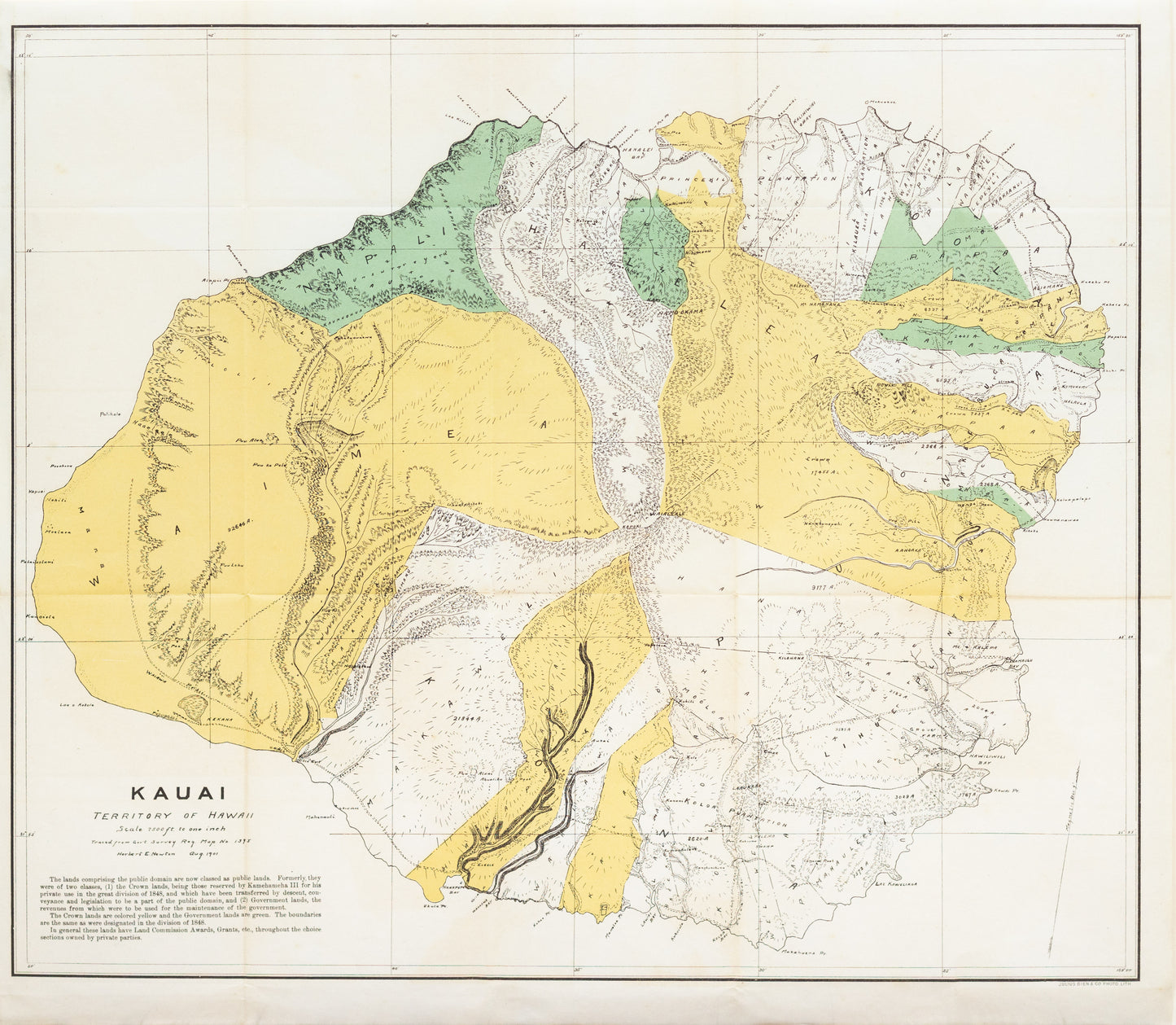
U.S. Department of the Interior, and Herbert E. Newton. Map of Kauai. Washington, 1901.
U.S. Department of the Interior, and Herbert E. Newton. Map of Kauai. Washington, 1901.
Couldn't load pickup availability
U.S. Department of the Interior, and Herbert E. Newton
Kauai, Territory of Hawaii
Washington, 1901
Color lithographed map
[Sheet size: 12 x 25 in.]
This 1901 color lithograph map of Kauai, prepared under the direction of the U.S. Department of the Interior and cartographer Herbert E. Newton, reflects the early territorial period of Hawaii following its annexation by the United States in 1898. Produced just three years after Hawaii became a U.S. territory, the map details the island’s topography, infrastructure, and administrative divisions at a pivotal moment of political and economic transition. It documents the integration of Hawaii into American governance, commerce, and mapping systems—marking a key artifact in the visual record of U.S. expansion into the Pacific.