from: 1016 Map Inventory
Speed, John. Wales. London, 1676.
Speed, John. Wales. London, 1676.
Couldn't load pickup availability
John Speed
Wales
London, 1612
16 5/8" x 21 3/4"
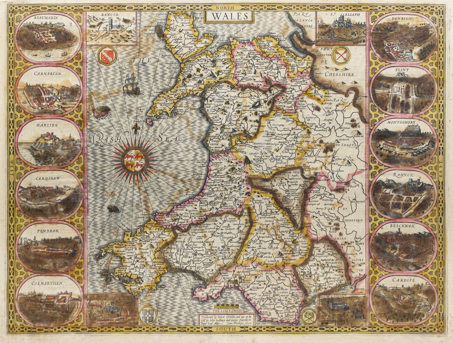
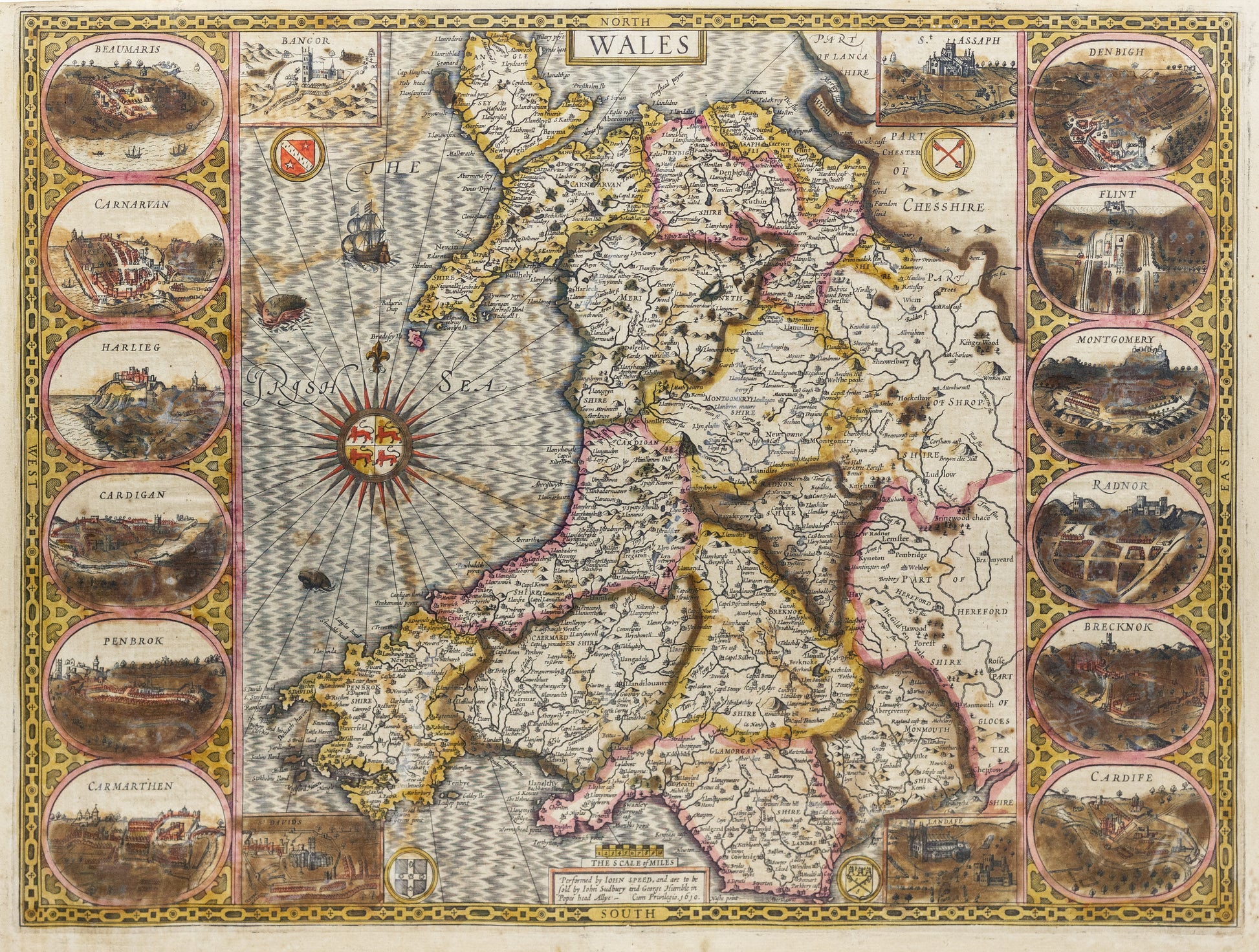
This beautifully detailed map of Wales, created by the renowned English cartographer John Speed, is one of the earliest printed maps of the region and a highlight of early 17th-century cartography. Published in Speed's landmark Theatre of the Empire of Great Britaine, the map reflects both geographic accuracy for its time and the artistry characteristic of Speed’s work.
The map divides Wales into its historic counties and features key towns, rivers, and mountain ranges, offering a clear and comprehensive view of the region’s topography. Insets include town plans of Caernarvon and Cardiff, among the earliest printed depictions of these cities, emphasizing their importance in the political and cultural life of Wales. The decorative embellishments, such as coats of arms and ornate cartouches, showcase Speed’s commitment to combining functionality with visual appeal.
As a product of England’s growing national identity during the early Stuart period, this map highlights Wales’ role within the broader British Isles and stands as a significant achievement in early English cartography.


