from: 1016 Map Inventory
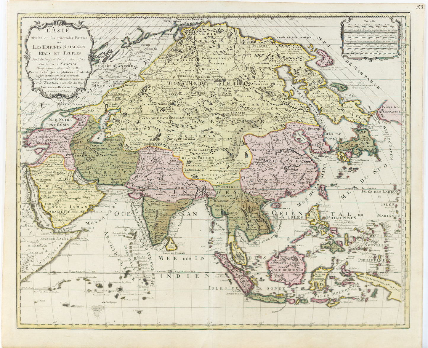
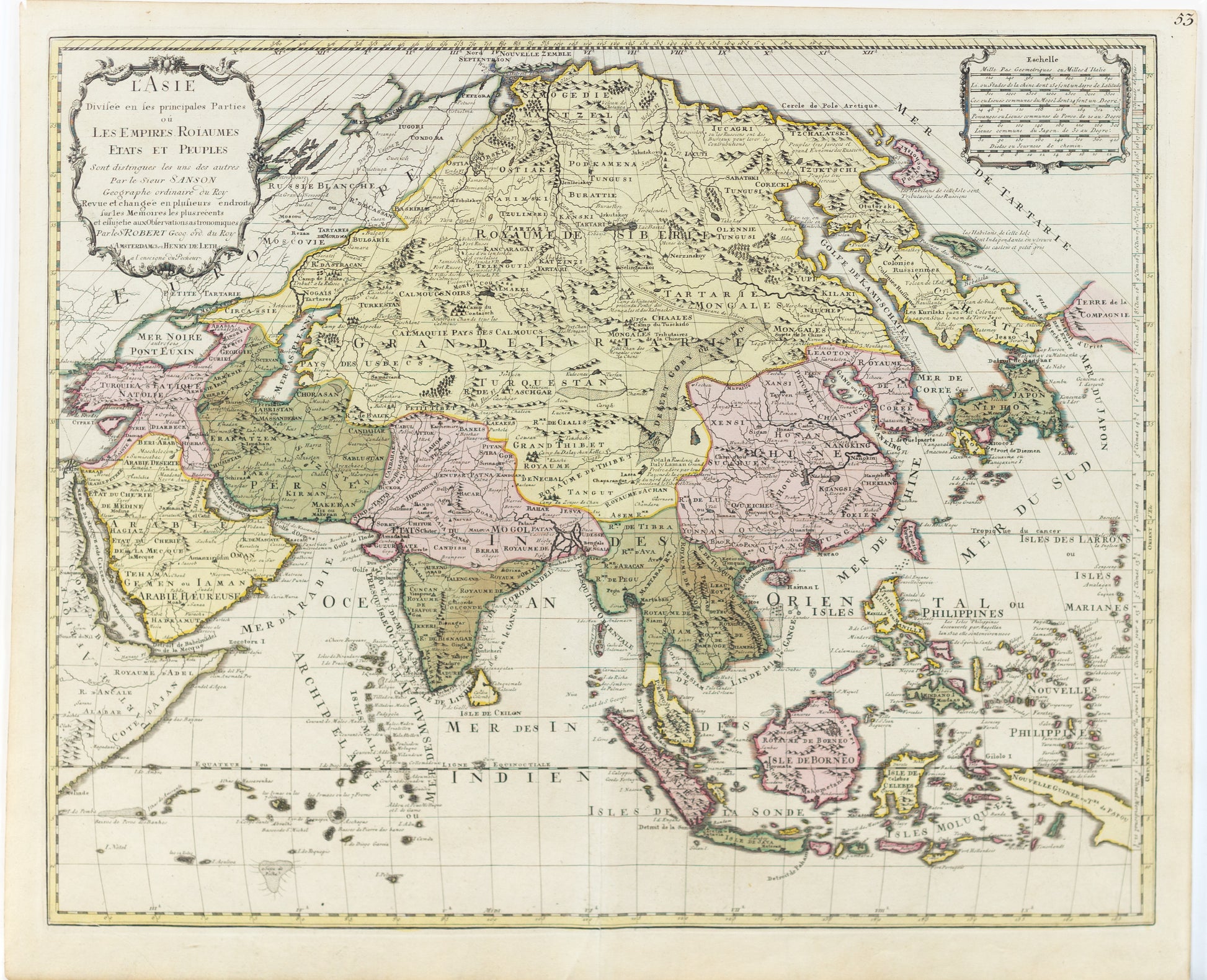
de Vaugondy, Sir Robert. L'Asie divisee en les principales parties ou les empires roiaumes etates et peuples. Paris, 1750.
de Vaugondy, Sir Robert. L'Asie divisee en les principales parties ou les empires roiaumes etates et peuples. Paris, 1750.
Couldn't load pickup availability
SIR ROBERT DE VAUGONDY
L'Asie divisee en les principales parties ou les empires roiaumes etates et peuples
Paris: 1750
21" x 25 1/4" sheet
Attractive, large map of Asia including all of Southeast Asia. The cartography is archaic for the period with the continental outline following the Sanson-Jaillot model. Shows cities, towns, rivers, mountain ranges etc. Covers the area from the East African coast to New Guinea and from the Artic to Northern Australia. The island of Hokkaido is attached to the mainland as part of the Yupi peninsula and Korea is a long skinny peninsula. The decorative title and distance scale cartouches are also very similar to Jaillot's map of 1692. Source unknown, to be determined.


