from: 1016 Map Inventory
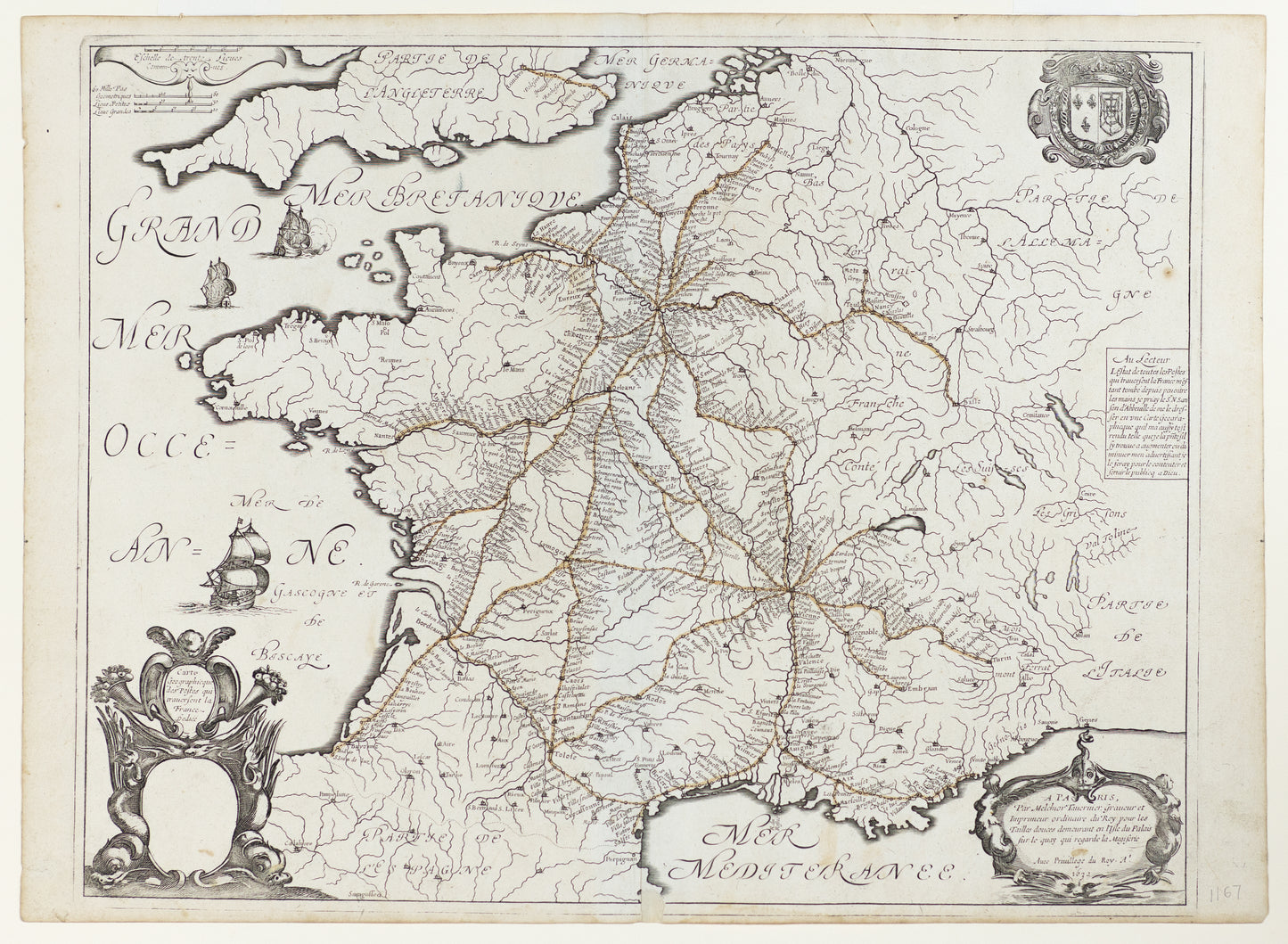
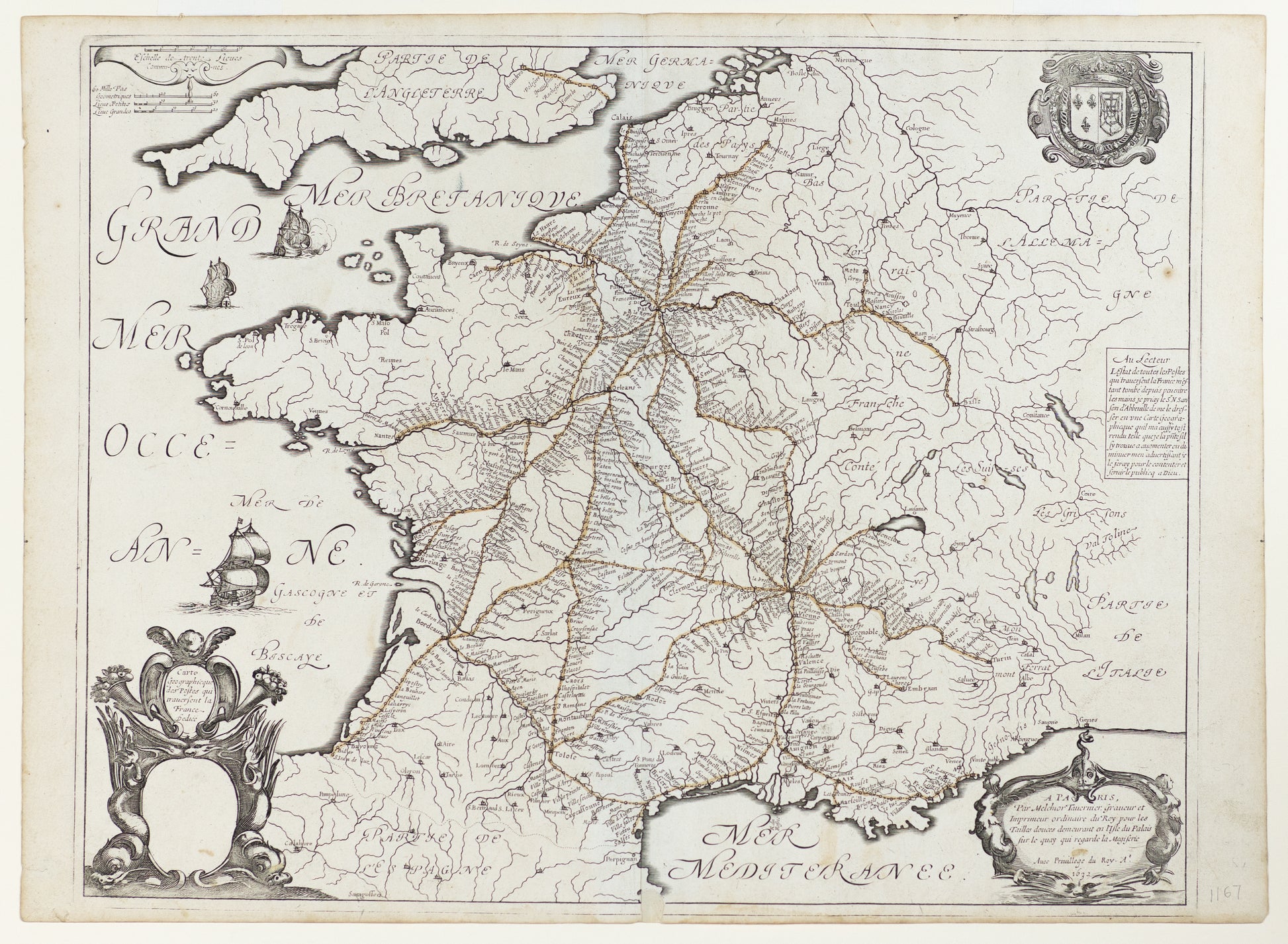
Sanson, Nicolas. Carte Geographique Des Postes Qui Traversent La France Dedièe. Paris, 1632.
Sanson, Nicolas. Carte Geographique Des Postes Qui Traversent La France Dedièe. Paris, 1632.
Couldn't load pickup availability
Sanson, Nicolas
Carte Geographique Des Postes Qui Traversent La France Dedièe
Paris, 1632
Double-page engraved map
17" x 23"
This significant 17th-century map by Nicolas Sanson charts the postal routes of France, offering one of the earliest systematic depictions of the kingdom's communication infrastructure. Produced at a time when France was solidifying its centralized power under the Bourbon monarchy, the map highlights the critical role of postal networks in supporting administration, trade, and travel across the country.
Sanson's detailed engraving connects major cities, towns, and regions through a network of meticulously drawn routes, reflecting the increasing need for organized communication in an expanding and modernizing state. The map not only served practical purposes but also underscored the geographic and political unity of France during a transformative period.
As a pioneering work in thematic cartography, Carte Geographique Des Postes combines utility with Sanson's cartographic precision, capturing the emergence of infrastructure that laid the foundation for modern communication systems.


