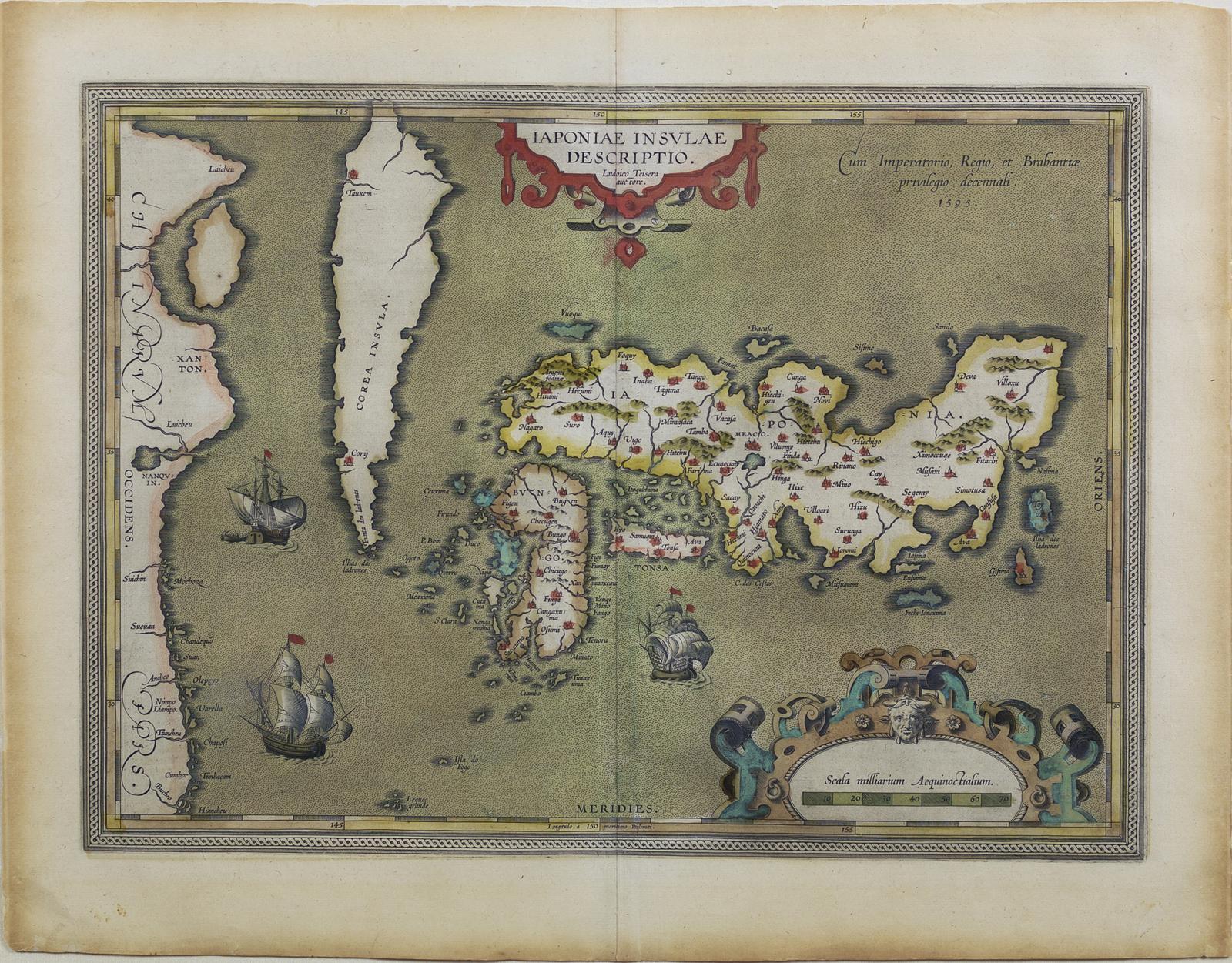
ORTELIUS, Abraham, Japoniae Insulae Descriptio, London: John Norton, 1606 . [Map of Japan].
ORTELIUS, Abraham, Japoniae Insulae Descriptio, London: John Norton, 1606 . [Map of Japan].
Regular price
$ 9,000.00 USD
Regular price
Sale price
$ 9,000.00 USD
Unit price
per
Couldn't load pickup availability
ORTELIUS, Abraham (1527-1598)
Japoniae Insulae Descriptio
London: John Norton, 1606
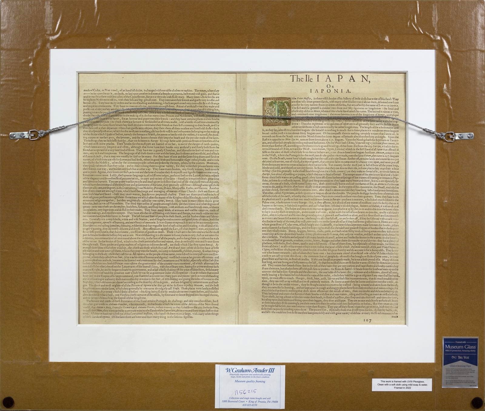
[English Text on Verso]
Sheet: 17 1/4” x 22”
Frame: 24” x 28”
The first printed map of Japan to appear in an atlas.
This map was to remain the standard form until replaced by the Martini map of 1655. Ortelius received several maps from the Portuguese Jesuit priest, Luis Teixeira, in 1592. Though Teixeira had never been to Asia, let alone Japan, the map is clearly based on local Japanese mappings, as it contains much information not known to European cartographers at the time. Walter 19; Cortazzi, pl. 25.
![ORTELIUS, Abraham, Japoniae Insulae Descriptio, London: John Norton, 1606 . [Map of Japan].](http://aradernyc.com/cdn/shop/files/109.jpg?v=1689511719&width=1445)
![ORTELIUS, Abraham, Japoniae Insulae Descriptio, London: John Norton, 1606 . [Map of Japan].](http://aradernyc.com/cdn/shop/files/109_3.jpg?v=1689511721&width=1445)