from: 1016 Map Inventory
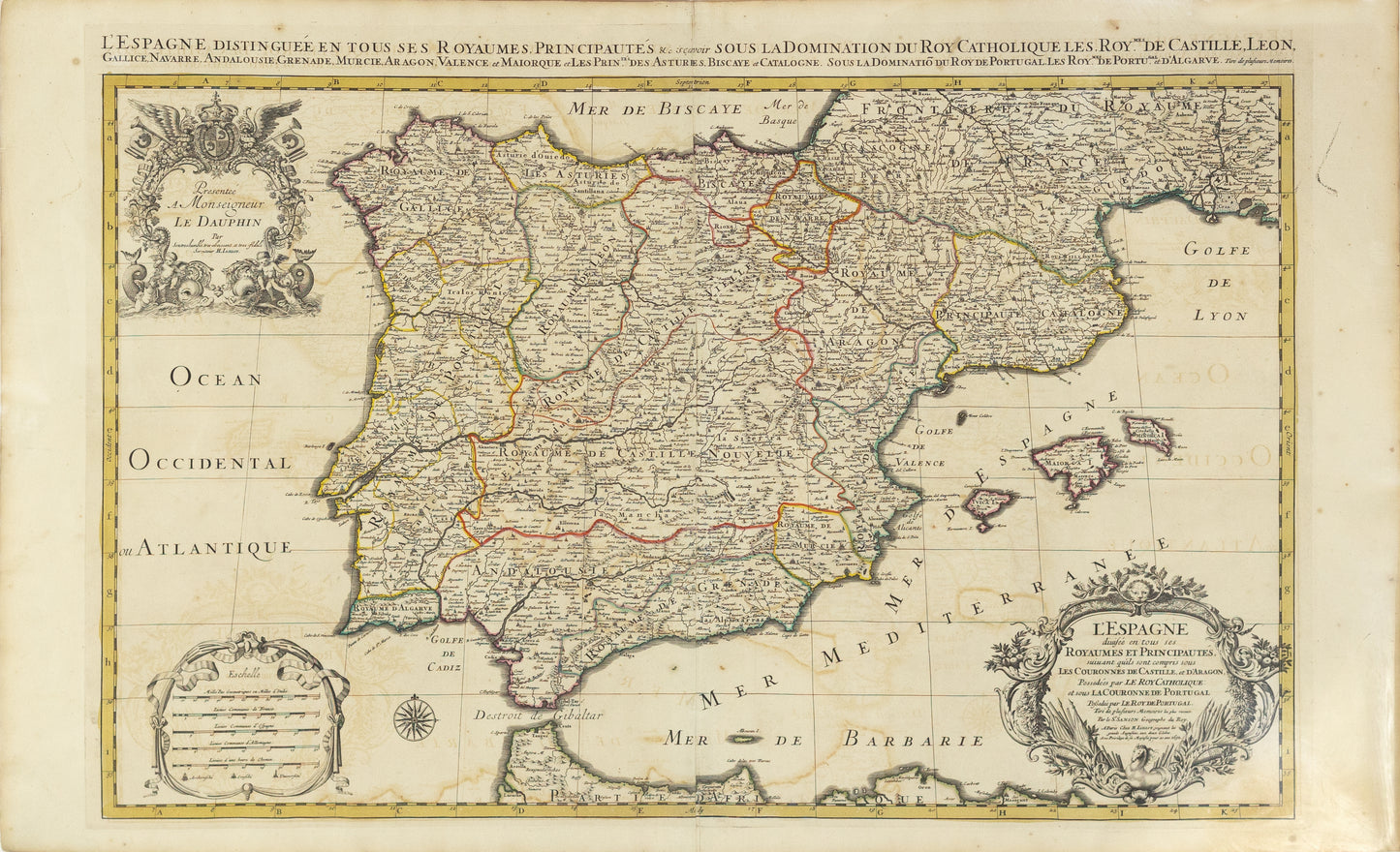
Mortier, Pierre. L'Espagne. Paris, ca. 1700.
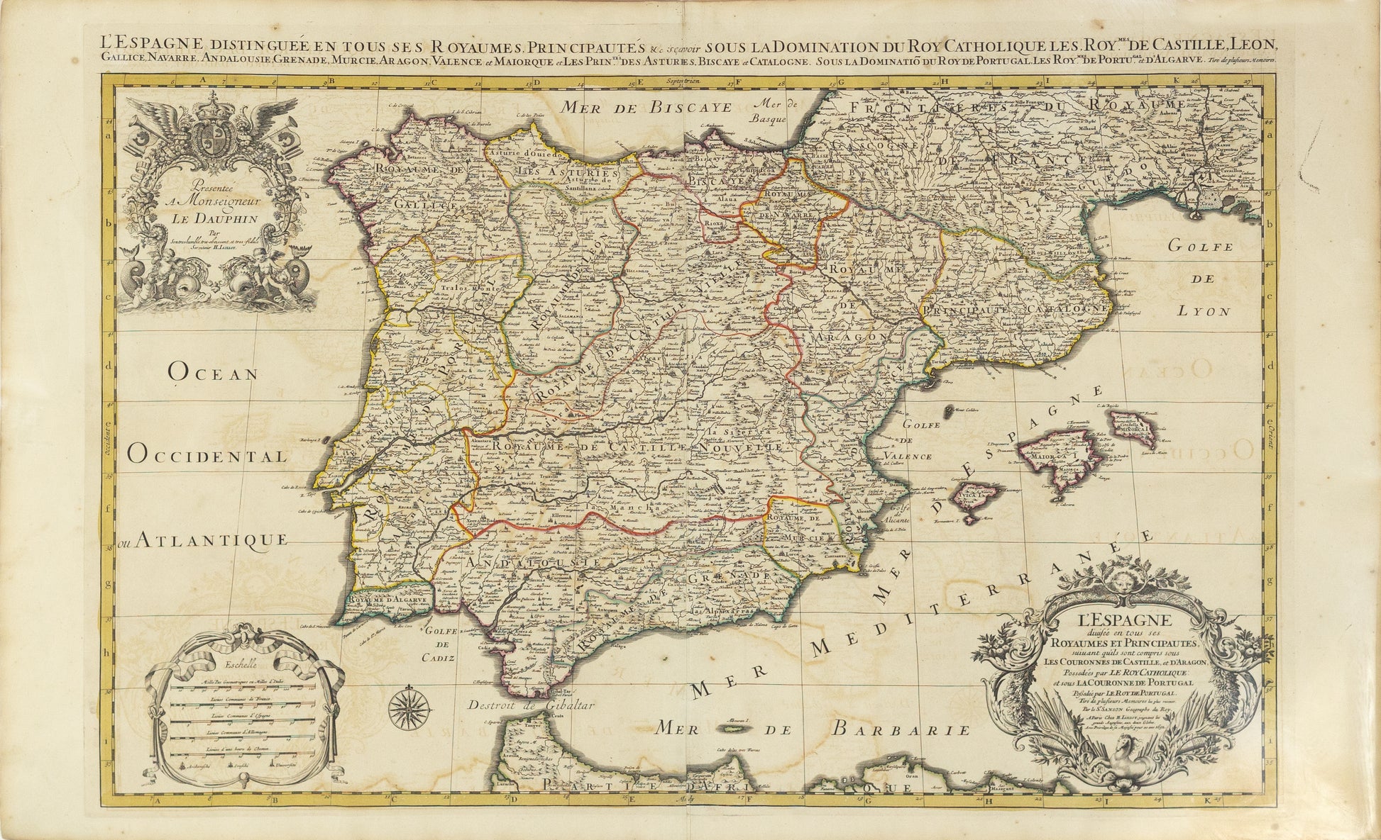
Mortier, Pierre. L'Espagne. Paris, ca. 1700.
Couldn't load pickup availability
Mortier, Pierre
L'Espagne Distinguee en tous ses Royaumes. Principautes
Paris, ca. 1700
25 1/2" x 41" sheet
### Bio: Importance of "L'Espagne Distinguee en tous ses Royaumes" by Pierre Mortier
Pierre Mortier's map, **"L'Espagne Distinguee en tous ses Royaumes"**, created around 1700, holds significant historical and geographical value. This meticulously crafted map offers a detailed representation of Spain, distinguishing its various kingdoms and principalities during a time of political complexity and change.
#### Historical Context
During the late 17th and early 18th centuries, Spain was undergoing significant transformations, both politically and culturally. The map reflects the fragmentation of the Iberian Peninsula into distinct regions, which was crucial for understanding the socio-political landscape of the era. Mortier’s work serves as a vital resource for historians studying the territorial dynamics and governance of Spain during this period.
#### Geographical Significance
Mortier's map is notable for its intricate detail, showcasing not just the political boundaries but also geographical features that would have been essential for navigation and military strategy. By illustrating various kingdoms—such as Castile, Aragon, and Navarre—the map aids in comprehending regional identities and their roles within the broader Spanish Empire.
#### Educational Resource
This map remains an invaluable educational tool for scholars, students, and enthusiasts of cartography and history. It allows for a visual understanding of Spain’s political organization and territorial claims in the early 18th century, facilitating discussions about historical governance, colonial expansion, and regional autonomy.
#### Artistic and Cartographic Achievement
Beyond its historical and educational importance, Mortier's map exemplifies the artistic craftsmanship of the period. The rich detail and decorative elements not only serve a functional purpose but also reflect the cartographic artistry that flourished in early modern Europe.
### Conclusion
In summary, Pierre Mortier's **"L'Espagne Distinguee en tous ses Royaumes"** is a pivotal map that encapsulates the complexities of Spain's political landscape at the turn of the 18th century. Its importance spans historical, geographical, and educational domains, making it a critical piece for anyone interested in the legacy of cartography and the history of Spain.


