from: 1016 Map Inventory
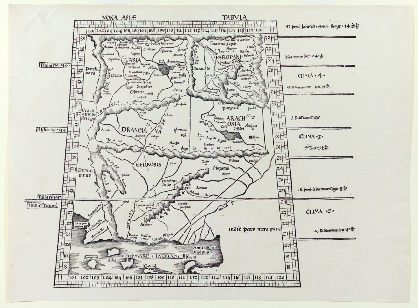
Waldseemuller (after) Ptolemaeus. Nona Asiae Tabula. Strassburg: Johann Schott, 1513.
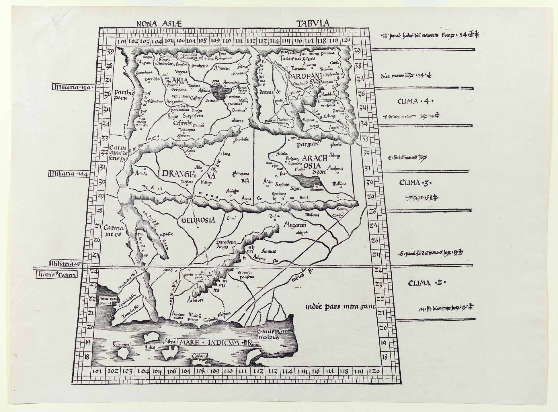
Waldseemuller (after) Ptolemaeus. Nona Asiae Tabula. Strassburg: Johann Schott, 1513.
Couldn't load pickup availability
MARTIN WALDSEEMULLER
Nona Asiae Tabula
Strasbourg: Johann Schott, 1513
Woodcut
Paper size: 17 1/2" x 23 1/4"
Single sheet (17 4/8 x 23 2/8 inches). FINE woodcut map of Pakistan, northwest India, showing the Ganges, Indus rivers, by Martin Waldseemüller (central vertical fold, tiny worn holes near the Indus dela). From the first modern atlas: "Geographie opus nouissima traductione e Grecorum archetypis castigatissime pressum", prepared by Martin Waldseemuller using the translation of Mathias Ringmann. One of the most important editions of Ptolemy, it contained many new regional maps based on contemporary knowledge "unlike many of the alleged 'new' maps produced by earlier editors, [they] contained a great deal of new information, and in nearly every case they were decided improvements over anything that had been previously offered." ("The World Encompassed", 56), were included in addition to the traditional body of twenty-seven Ptolemaic maps derived from the 1482 Ulm edition (or possibly from the manuscript atlas of Nicolaus Germanus that served as source for the latter). Schott's edition while initiated by the most famous of all early sixteenth-century cosmographers, Martin Waldseemuller and his associate Mathias Ringmann, partly at the expense of Duke Rene of Lorraine, was brought to completion by Jacobus Eszler and Georgius Ubelin. Claudius Ptolemy was an Alexandrine Greek, and a dominant figure in both astronomy and geography for more than 1500 years. "He compiled a mapmaker's manual usually referred to simply as the 'Geography'. He demonstrated how the globe could be projected on a plane surface, provided coordinates for over 8,000 places across his the Roman world, and expressed them in degrees of longitude and latitude. No maps drawn by Ptolemy himself are known to survive, but maps compiled from his instructions as outlined in his 'Geography' were circulated from about 1300.


