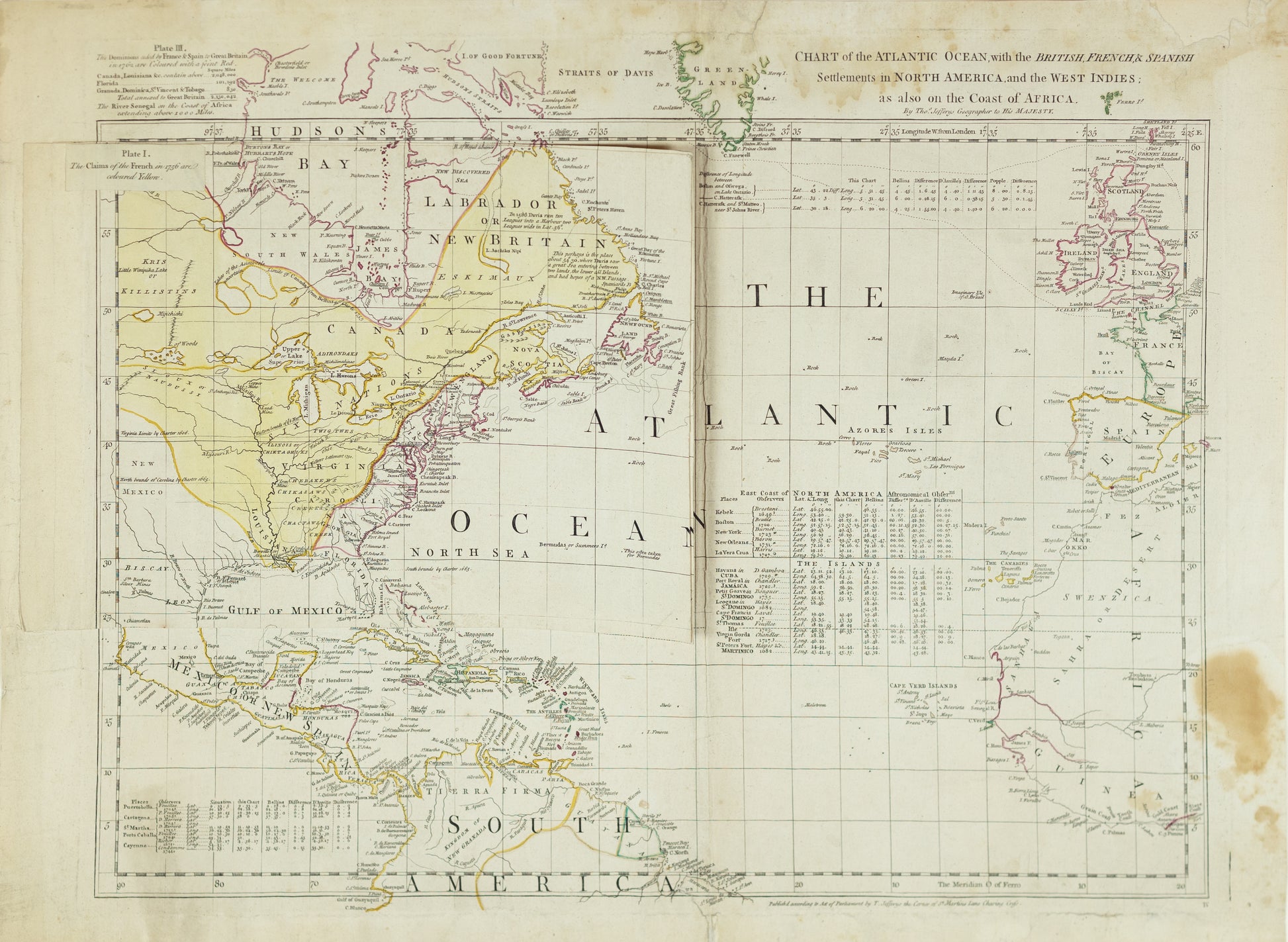
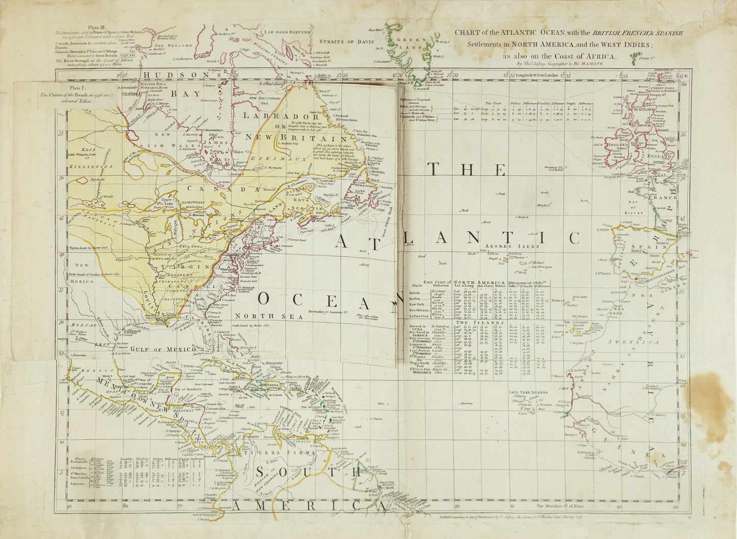
Jefferys, Thomas. Chart of the Atlantic Ocean, with the British, French, & Spanish Settlements in North America, and the West Indies. London, 1754.
Jefferys, Thomas. Chart of the Atlantic Ocean, with the British, French, & Spanish Settlements in North America, and the West Indies. London, 1754.
Regular price
$ 500.00 USD
Regular price
Sale price
$ 500.00 USD
Unit price
per
Couldn't load pickup availability
Thomas Jefferys
Chart of the Atlantic Ocean, with the British, French, & Spanish Settlements in North America, and the West Indies
London, 1754
20 1/2" x 27 1/2"
11_2023_500blast
-
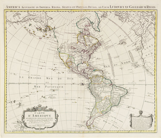
L'isle, Guillaume de. Carte d'Amerique divisees en ses principales parties. Amsterdam, 1774.
Regular price $ 500.00 USDRegular priceUnit price per -
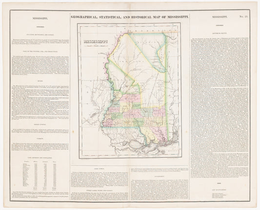
Carey, H.C. & Lea, I. Geographical, Statistical, and Historical Map of Mississippi. Philadelphia, 1827.
Regular price $ 500.00 USDRegular priceUnit price per -
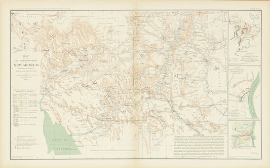
Anderson, Capt. Allen. Map of the Military Department of New Mexico. 1864.
Regular price $ 500.00 USDRegular priceUnit price per -
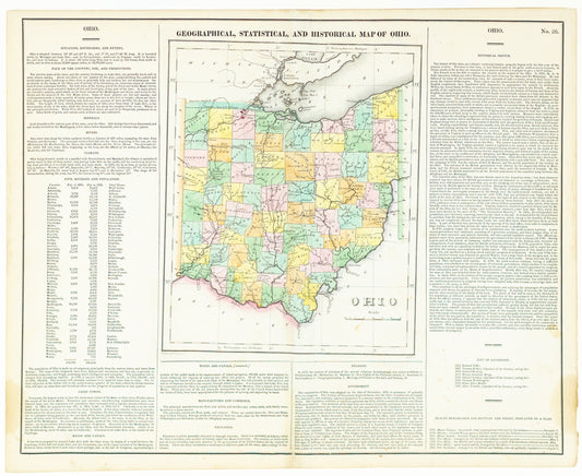
Carey, Henry Charles and Lea, Isaac. Geographical, Statistical and Historical Map of Ohio. Philadelphia, 1823.
Regular price $ 500.00 USDRegular priceUnit price per

