from: 1016 Map Inventory
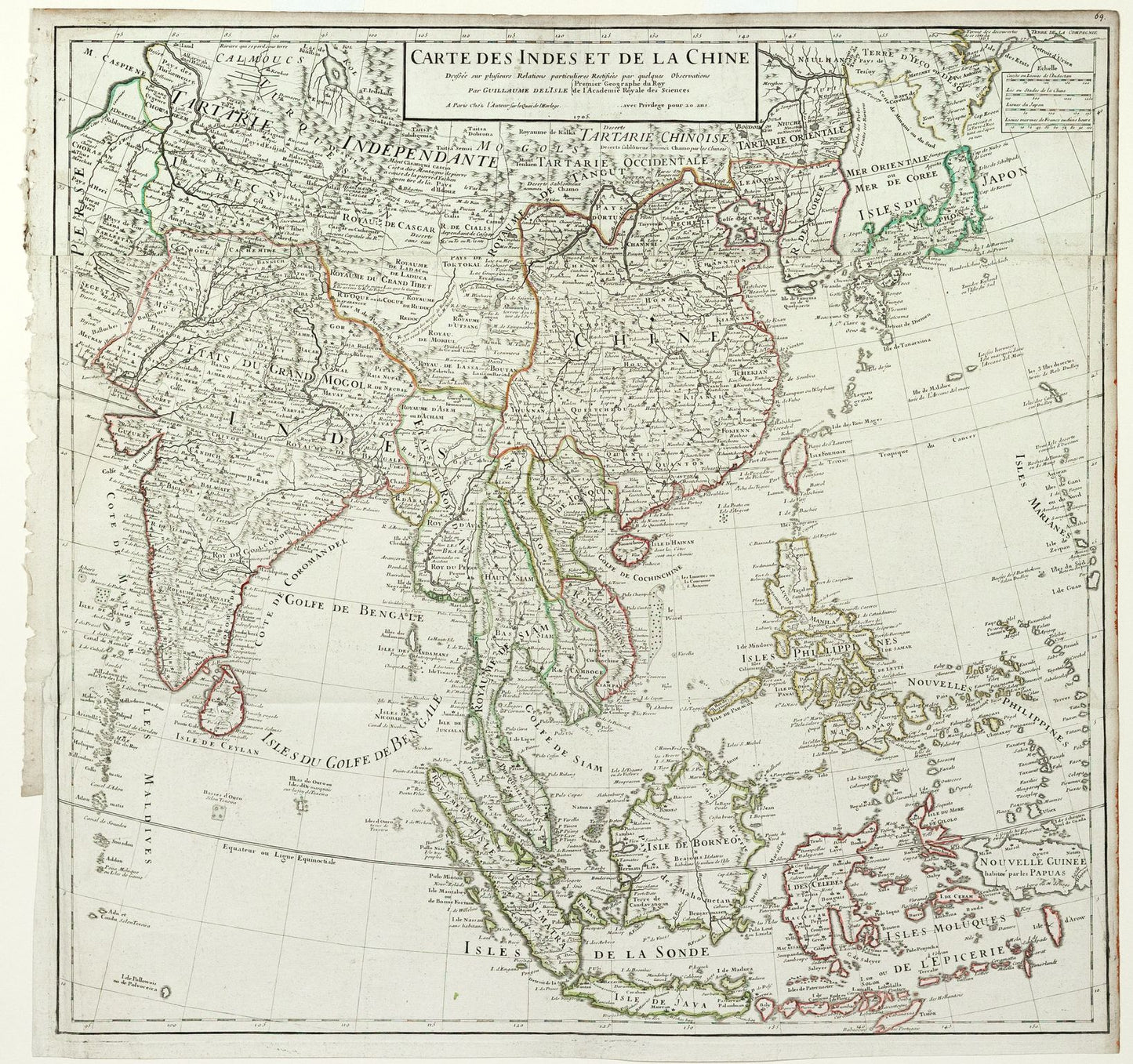
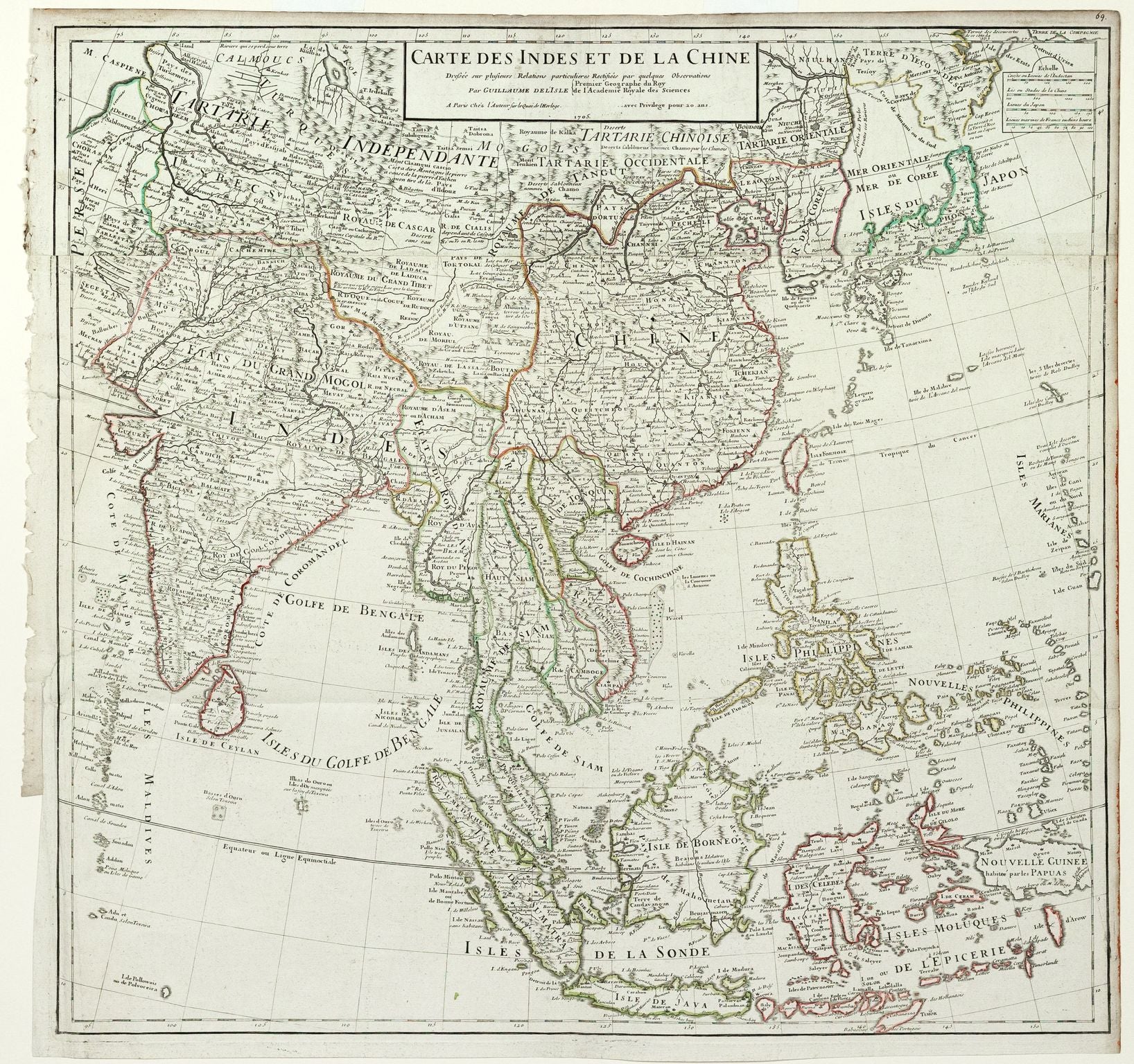
Delisle, Guillaume. Carte des Indes et de la Chine. 1705.
Delisle, Guillaume. Carte des Indes et de la Chine. 1705.
Couldn't load pickup availability
Guillaume Delisle (French, 1675-1726)
Carte des Indes et de la Chine
Paris, 1705
25 1/2 x 26 1/2 inches
This 1705 map by Guillaume Delisle, one of the most influential French cartographers of the early 18th century, provides a remarkably accurate and detailed depiction of India, Southeast Asia, and China. Produced at a time when European powers were expanding their influence in Asia, the map reflects Delisle’s commitment to scientific precision, moving away from earlier decorative embellishments in favor of geographic accuracy.
The map charts the Indian subcontinent, the Indonesian archipelago, and the vast Chinese empire, highlighting major cities, rivers, and coastal features that were critical to trade and exploration. Delisle incorporates information from contemporary voyages and reports, improving on earlier maps that were often speculative. This work underscores the growing importance of Asia as a focal point for European trade networks, particularly in spices, textiles, and porcelain, during the early modern period.
Carte des Indes et de la Chine stands as a landmark in Enlightenment cartography, offering an advanced and influential representation of a region central to global commerce and European ambitions.


