from: 1016 Map Inventory
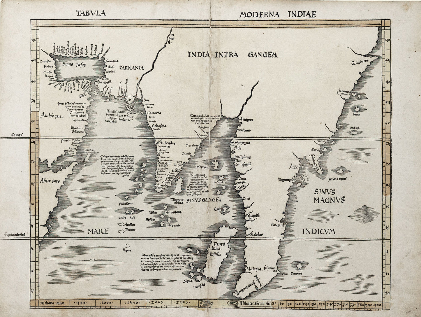
Claudius Ptolemy. Tabula Moderna Indiae. Switzerland, 1513.
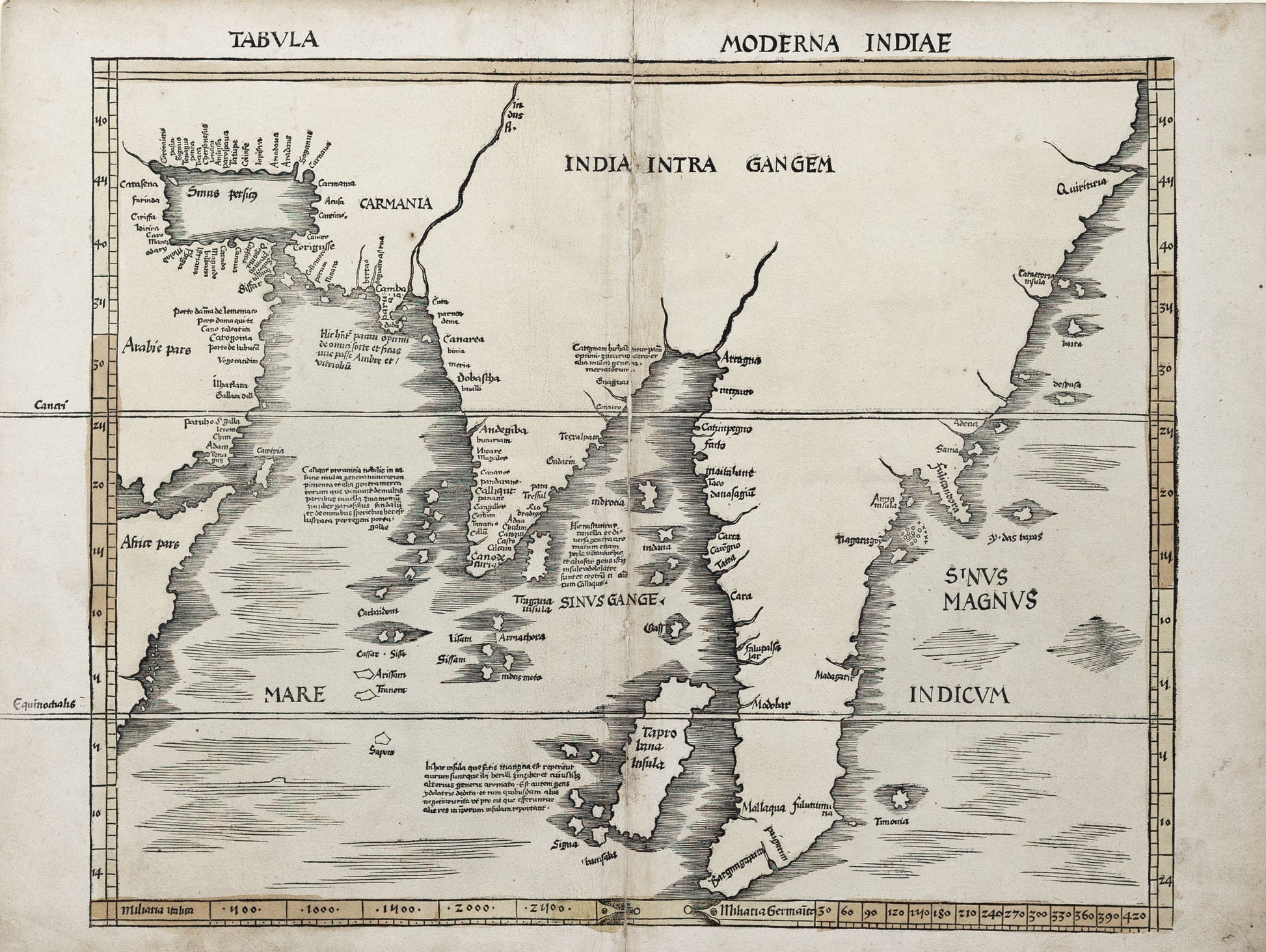
Claudius Ptolemy. Tabula Moderna Indiae. Switzerland, 1513.
Couldn't load pickup availability
Claudius Ptolemy
Tabula Moderna Indiae
Switzerland, 1513
17 3/4 x 23 1/4 inches
This early 16th-century map of India, included in the 1513 Strasbourg Edition of Ptolemy's Geographia, represents one of the first attempts to reconcile classical geography with the new discoveries of the Age of Exploration. Known as a modern map, it reflects updated European knowledge of the Indian subcontinent and surrounding regions, showcasing the evolving understanding of Asian geography during the Renaissance.
The map captures the Indian Ocean coastline, including prominent features such as the Indus and Ganges river systems, as well as the broader region stretching from Persia to Southeast Asia. While certain interior areas remain speculative, the map marks a significant departure from the purely theoretical geography of earlier Ptolemaic works, integrating information from contemporary explorers and traders.
Produced in Switzerland and printed shortly after the advent of movable type, Tabula Moderna Indiae is a landmark of Renaissance cartography, bridging ancient knowledge with the geographic advancements of the early modern period. It stands as a testament to Europe’s growing curiosity and engagement with the wider world.


