Collection: Ptolemaic Maps
Ptolemy’s Geographia

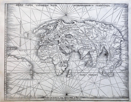
Ptolemy’s Geographia was a worldwide best seller of ancient times and was immensely influential for many influential explorers, most notably Christopher Columbus. Columbus was especially excited about Ptolemy’s exaggerated size of Asia and persuaded others to finance his journey with the expectation of riches from the relatively close and geographically expansive Asian continent. Of course, the reality of his journey was much different.
The greatest contribution of Ptolemy was not the maps themselves but the concepts behind the maps. He offered three different methods of map projections and provided coordinates to all the geographic features he knew, more than 8,000 places. He invented the concept of latitude and longitude, a mapping system still commonly used today. Latitude was measured horizontally from the equator while longitude was measured from the westernmost landmass known to date, the Canary Islands off of the coast of Spain.
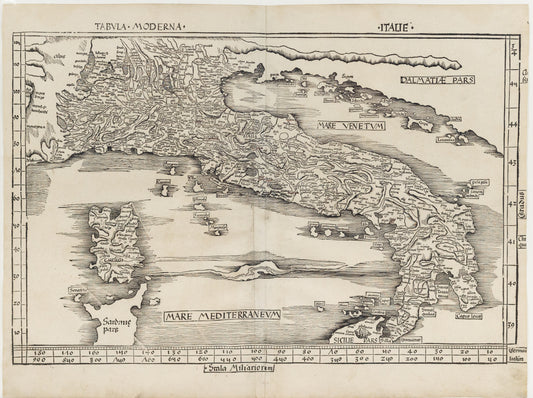
The Greek text of the Geography reached Florence from Constantinople in about 1400 and was translated into Latin by Jacobus Angelus of Scarperia around 1406. The first printed edition with maps, published in 1477 in Bologna, was also the first printed book with engraved illustrations. Many editions followed (more often using woodcut in the early days), some following traditional versions of the maps, and others updating them.
Here with, we are pleased to present a selection of Ptolemaic maps, the high light being a complete 1513 atlas, the first ‘Modern’ edition of Ptolemy and arguably, the most important of all Ptolemy editions.


![Scolari, Stefano (c. 1612-1691) after Matteo Greuter (1564-1638). [Italy] Novissima ac Exactissima Totius Italia Descriptio Magna. Venice, 1657.](http://aradernyc.com/cdn/shop/files/ScolariGreuterItaly.jpg?v=1754081611&width=533)